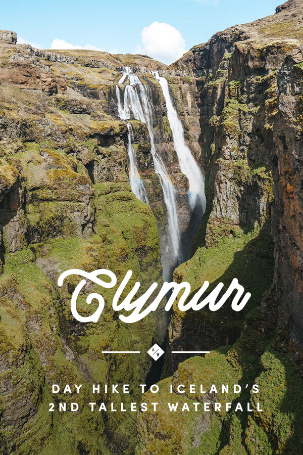
The hike to Glymur, Iceland’s second tallest waterfall, was one of our favorite hikes of the trip. While most of Iceland’s iconic waterfalls are just a short walk from the road, you have to put in a bit of work to see Glymur. The hike has something for everyone: mountain views, wild flowers, a cave, a sketchy river crossing, and more!
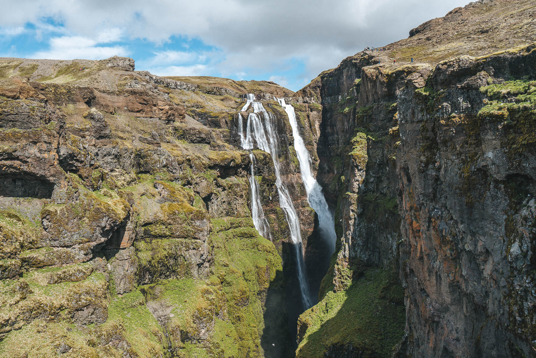
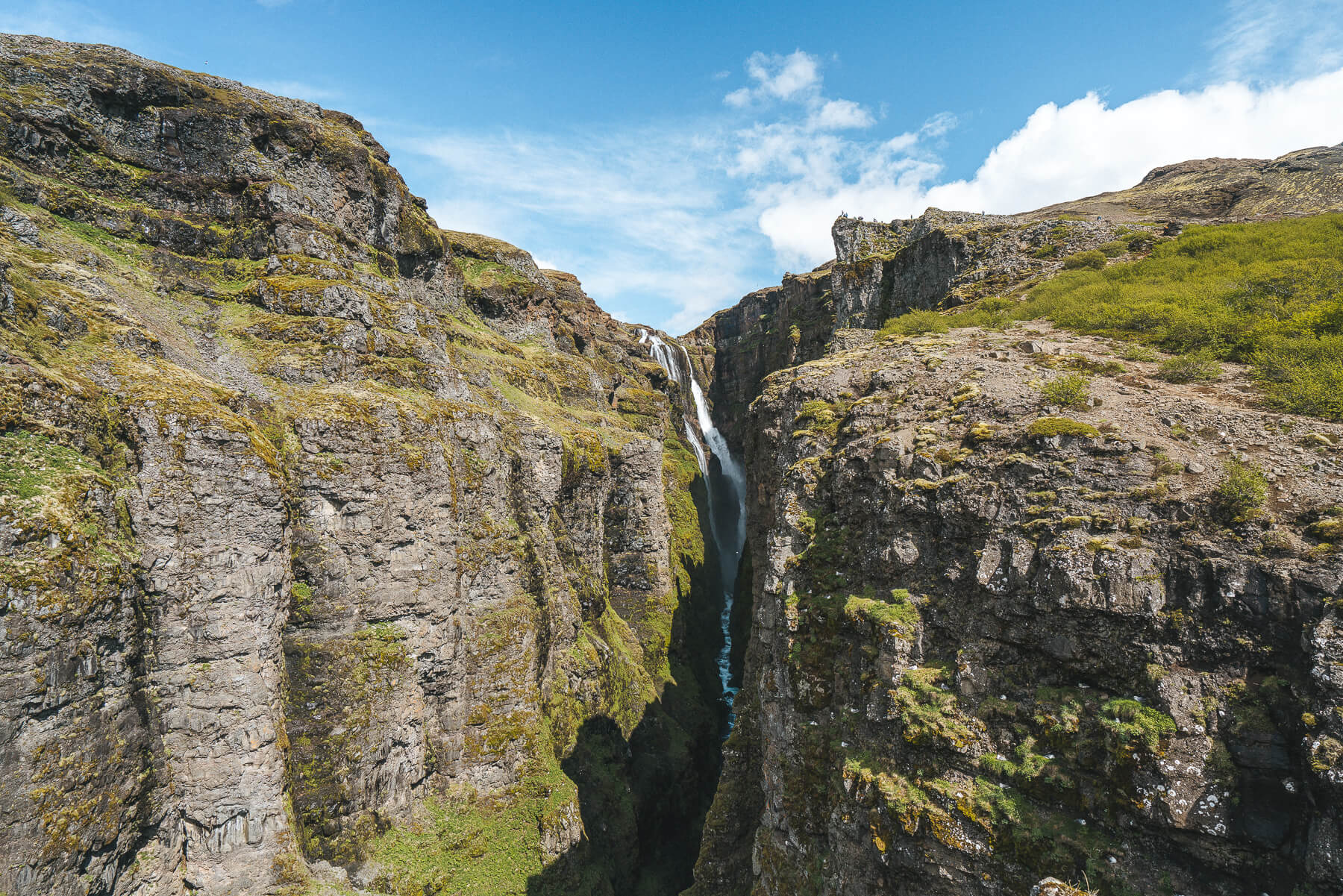
Up until 2011, Glymur was Iceland’s tallest waterfall. It was dethroned by Morsarfoss, a waterfall in the South that doesn’t seem to be accessible yet. At 198 meters (650 feet), Glymur is still impressive, and it comes with an fun hike, too!
We planned to hike to Glymur on the last full day of our trip purely because we decided to drive the Ring Road counter-clockwise. Had we planned on hiking it on the first day, we may have opted out because of how ridiculously delirious we were from lack of sleep on the plane. But the epic views driving up the fjord to the trailhead may have been enough to convince us anyway.
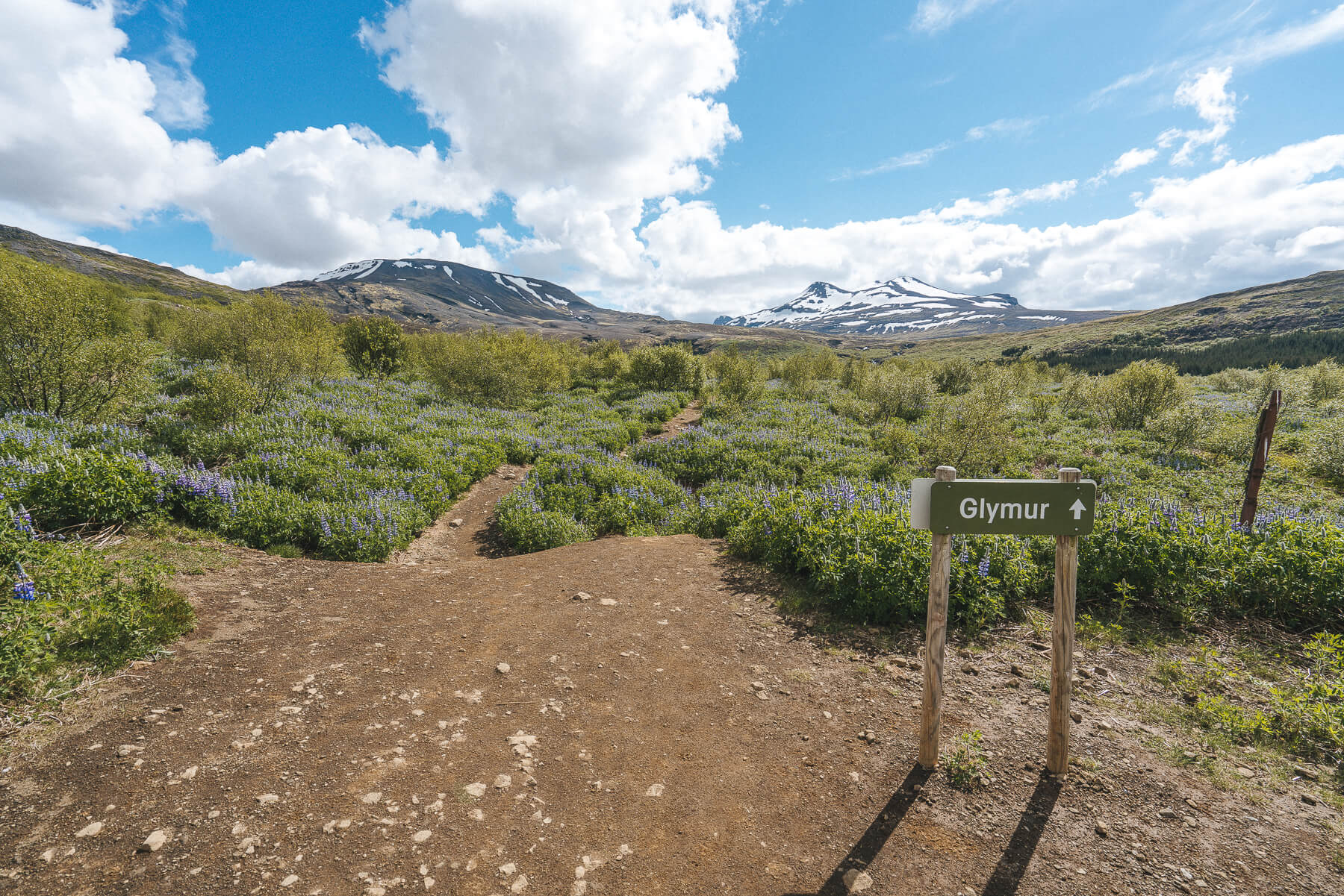
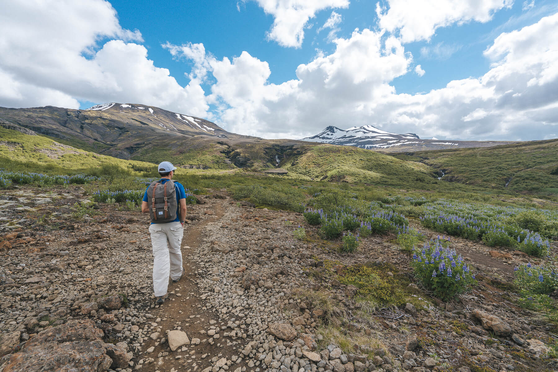
This particular morning was surprisingly warm and partly sunny, so it was the first time on our Iceland trip that we took our jackets off during a hike. The mountain views and the amount of huge, blooming lupine at the start of the trail was insane!
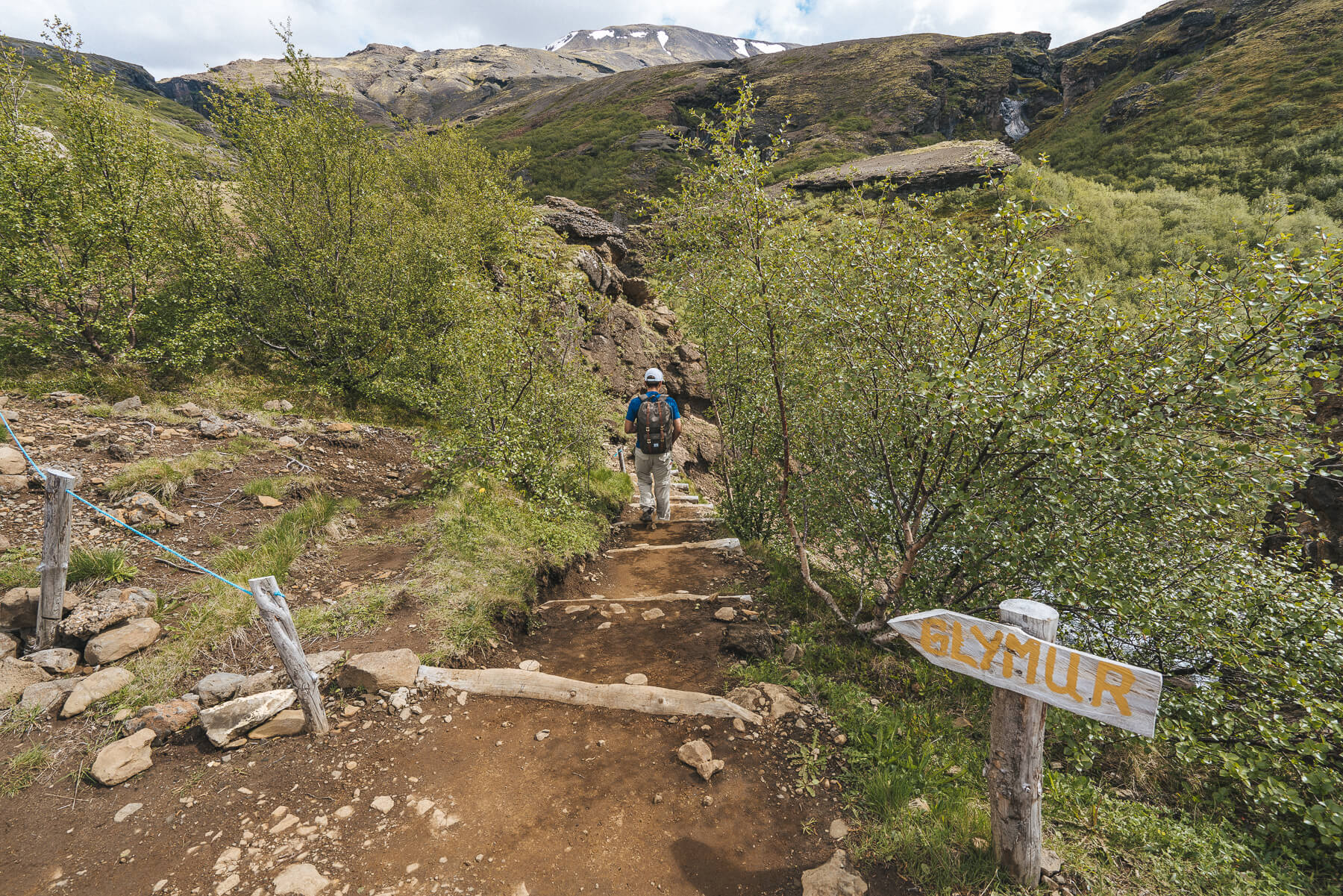
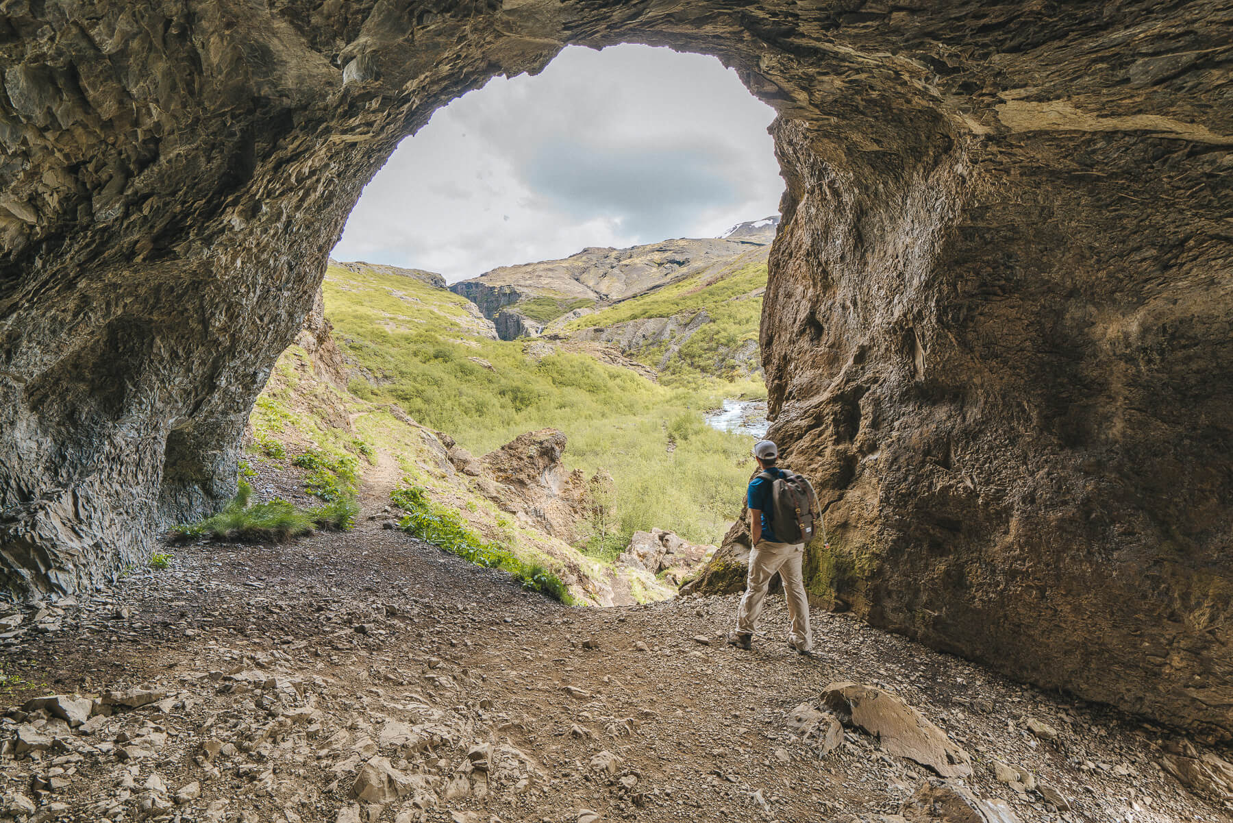
After the lupine fields, we descended down some steps into a cave where we had the first views of the steep canyon and the Botnsá River where Glymur plunges into.
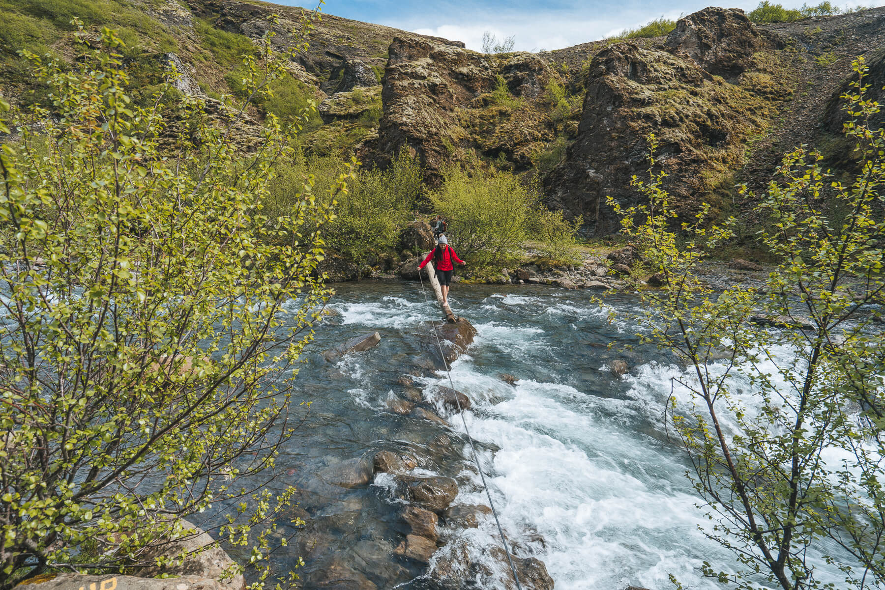
If you want the best view of the waterfall, you will have to cross the river. You can walk along the left side, but you’ll end up above the waterfall instead of in front of it. You can cross the river above the fall but it’s much wider.
Crossing the Botnsá River was no joke, especially early in the summer when it was still raging from snowmelt. It may not look like it in the photo below (which was actually taken on the hike back), but it was fairly deep and there was no way to avoid getting your feet and legs wet. Thankfully there was a very sturdy rope to help you get across, and halfway through there’s a nice stable log to walk on so you can get your feet out of the freezing cold water.
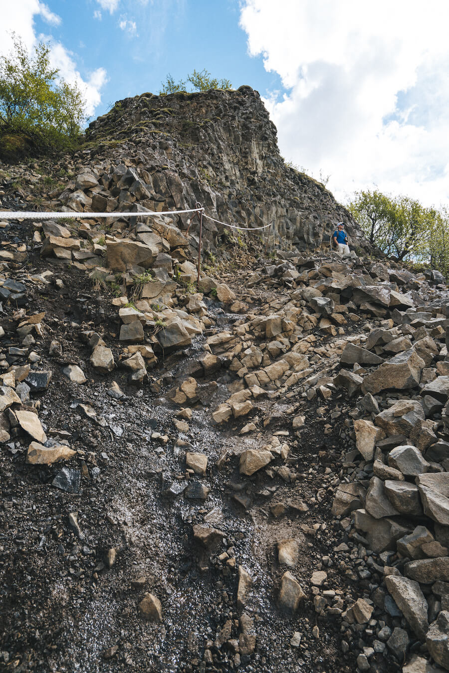
The section after crossing the river is the steepest, rockiest part of the hike. In the toughest spots there are ropes/stakes to help you along.
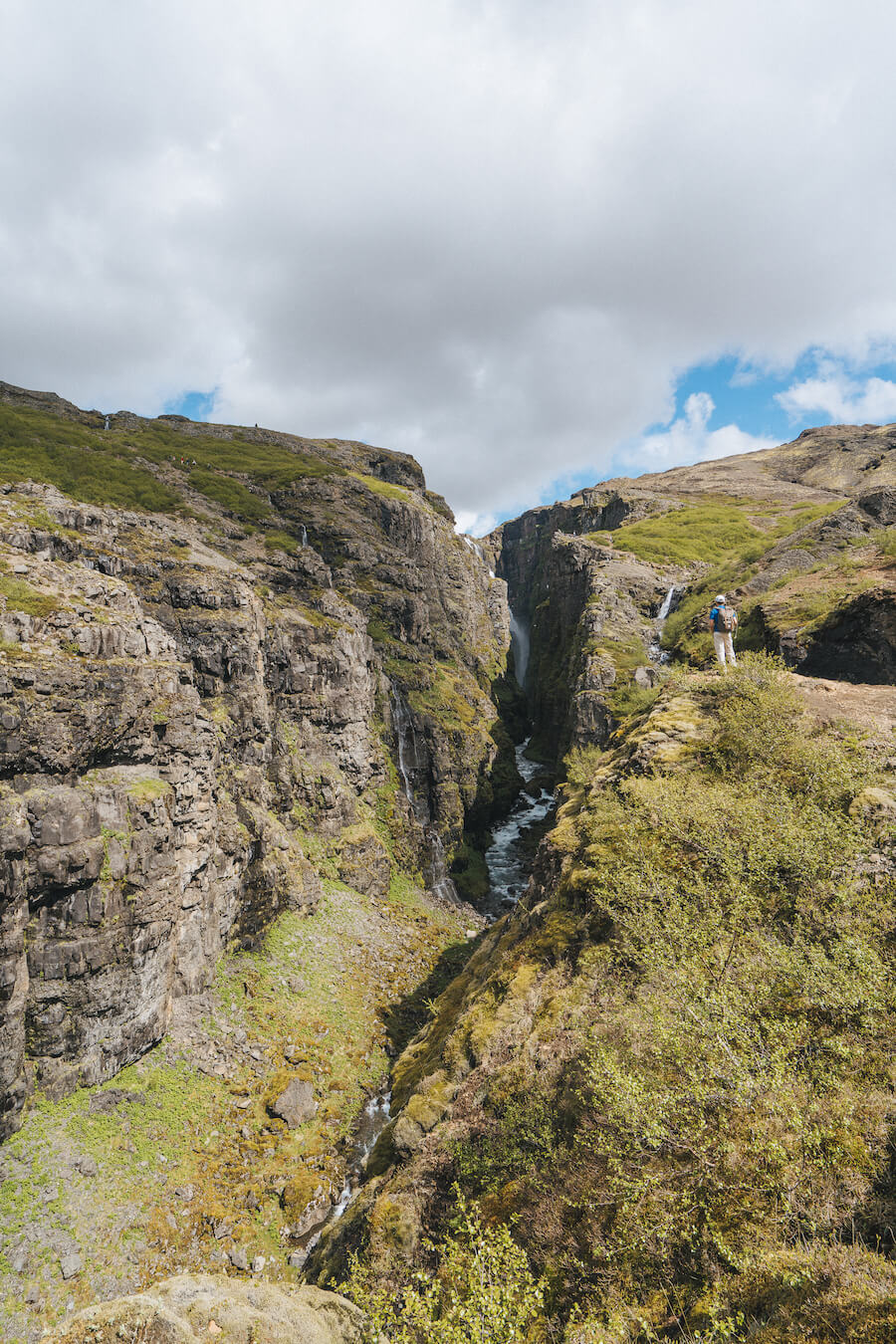
It’s in these sections where you’ll get your first glance at Glymur. It’s actually a tough waterfall to get a perfect view of since it’s so tall and tucked into a narrow canyon.
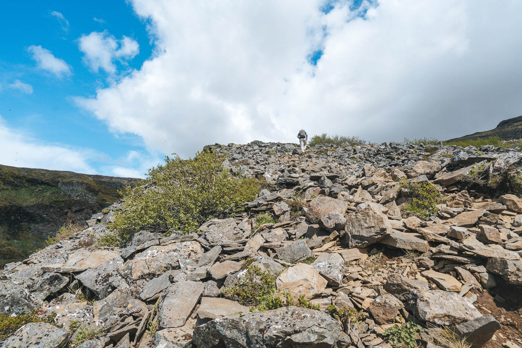
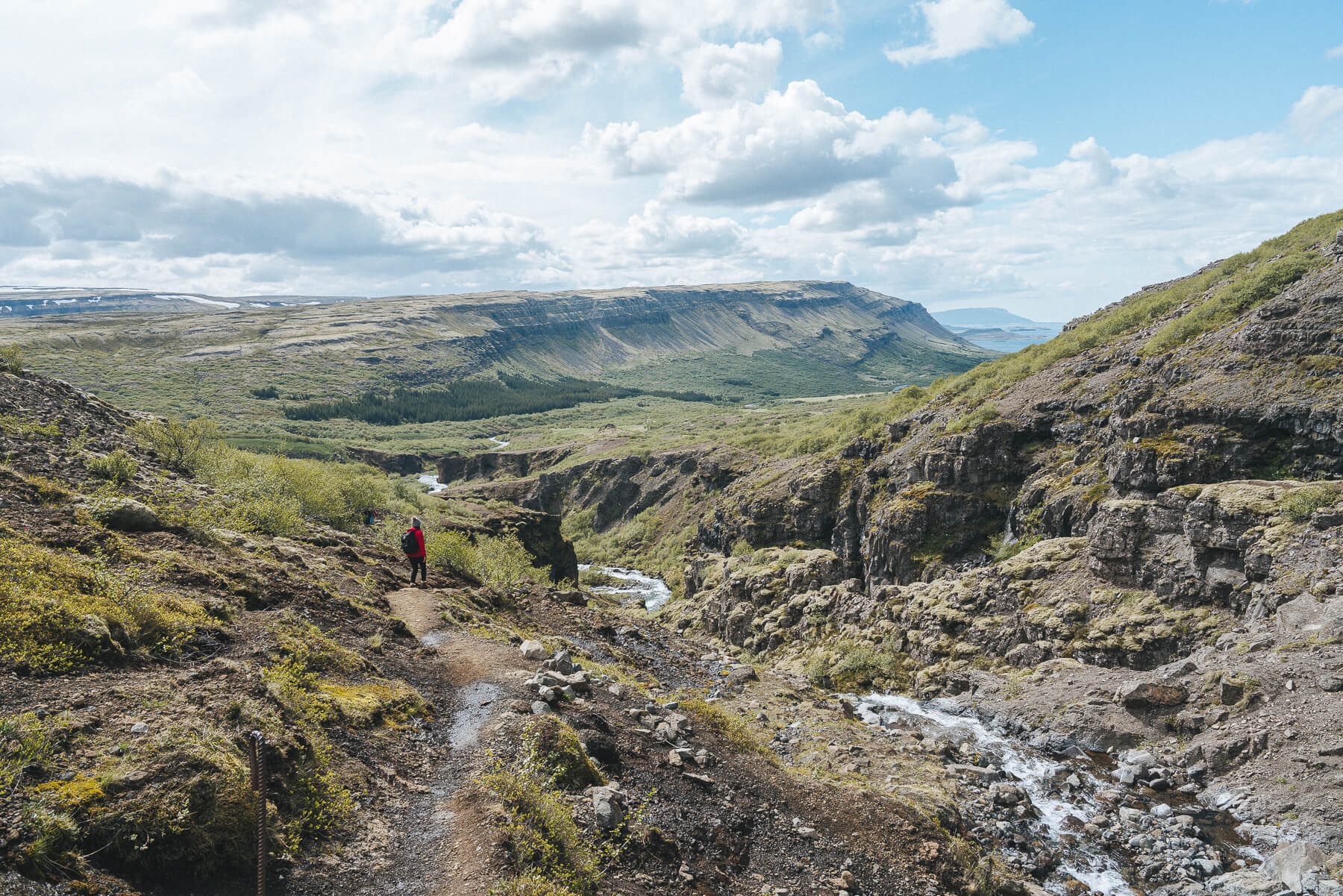
The higher you go, the rockier and steeper the trail gets, and the better the views of the fjord gets!
We opted not to cross the river at the top as it was much wider than below and there were no ropes to hang on to. There were larger groups who interlocked hands and made their way across, but we didn’t want to risk getting swept into a river!
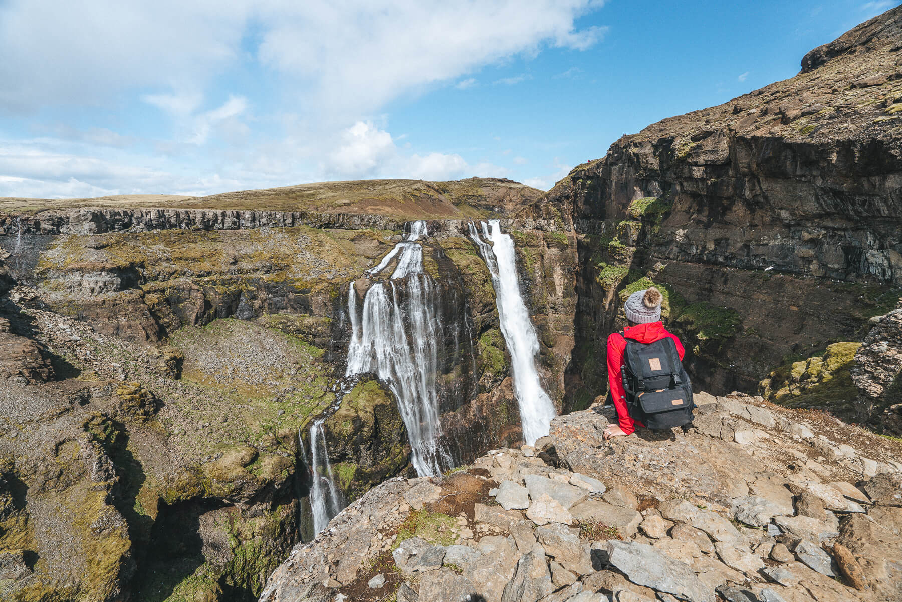

We found a spot to have a snack and enjoy Glymur in all its glory. There were so many rainbows around the waterfall, especially with the sun coming out, it was hard to capture them! If you look closely in the photos, you’ll notice the tiny people at the very top, for some scale at how tall the waterfall really is!
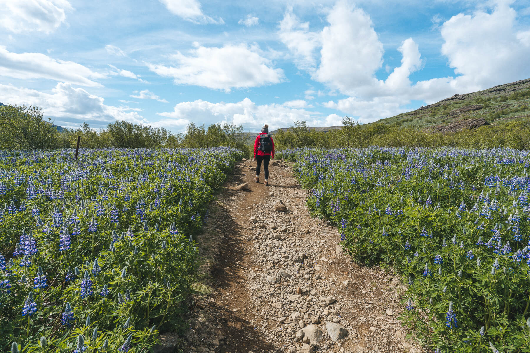
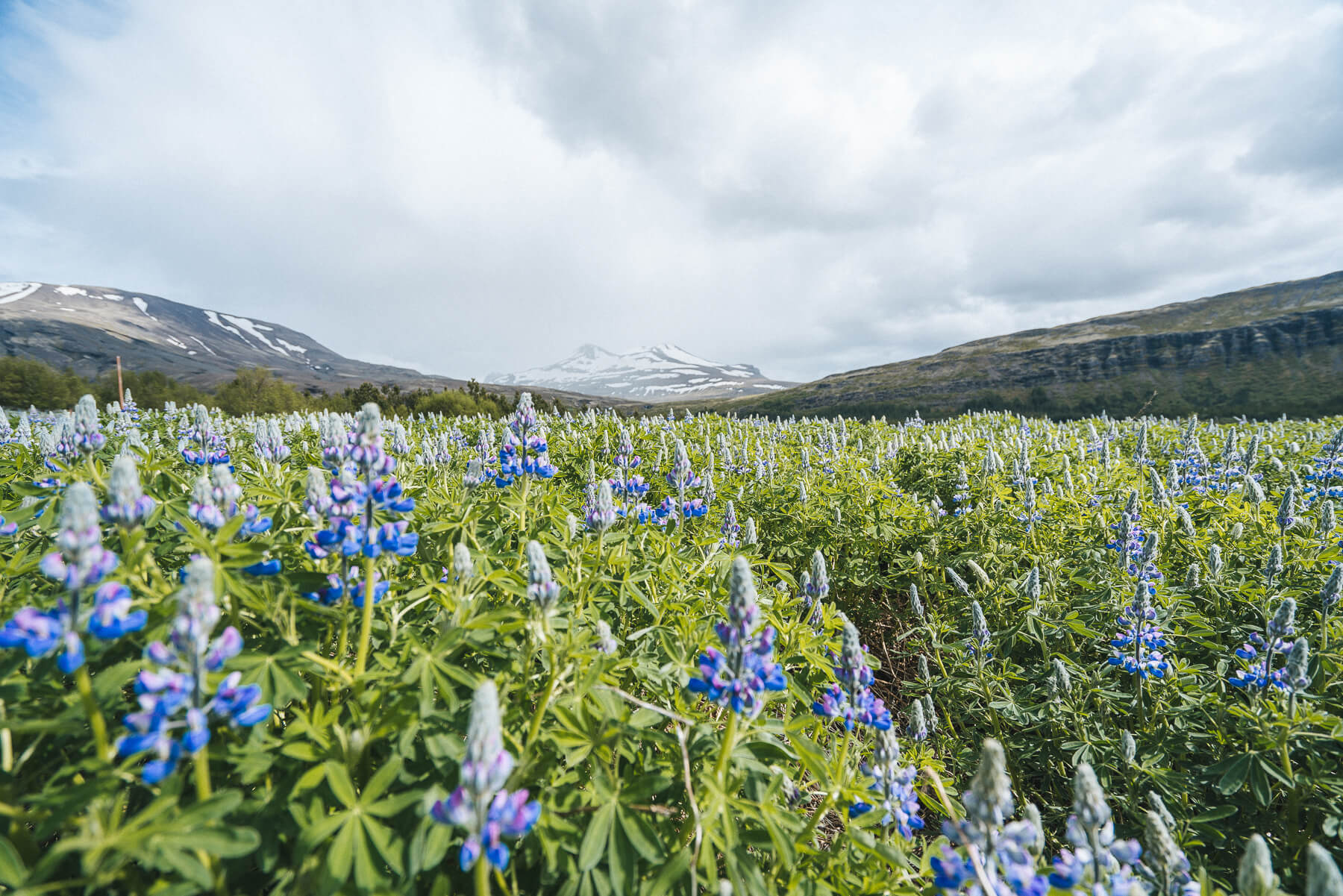
On our hike back out, we stopped to take more photos of the most amazing lupine we’ve ever seen.
As we looked back toward the valley, we noticed a huge storm rolling in, in typical Iceland fashion – can’t stay sunny for too long! We were glad to have started early because this would NOT have been a fun hike to do in the pouring rain.
We highly recommend this hike if you’re driving the Ring Road and want to see one of Iceland’s most iconic waterfalls. If you enjoy a good hike, this is one for your bucket list!
