What does one do when you want to do some Yosemite hiking with one’s dog but dogs are not allowed on Yosemite trails? Hike with your dog just outside Yosemite with very-good-close-second views and way less crowds. The hike to Shell and Fantail beyond the old Bennettville mine is picturesque, pleasant, and pup friendly.
We had spent most of our early summer trip to the Sierra in and around the Mammoth Lakes area where trails are super dog friendly, but on our last full day wanted to make the drive up Tioga Pass for some Yosemite views. Unfortunately, one of the downsides of the national parks (as dog owners) is that dogs aren’t allowed on most trails. We’ve been wanting River to get more trail experience and didn’t want to leave her behind at the condo, so we did the next best thing to hiking trail inside the park: hike a trail just outside the park.
To probably nobody’s surprise, the wilderness just outside of Yosemite is not lacking in the views department. What it is lacking is the park entrance fee and the crowds. The Hoover Wilderness area accessible via Tioga Pass Road holds some of our favorite places to hike and fish, including Twenty Lakes Basin, Gardisky Lake, Lee Vining Creek, and the lakes we decided on for the day: Shell and Fantail.
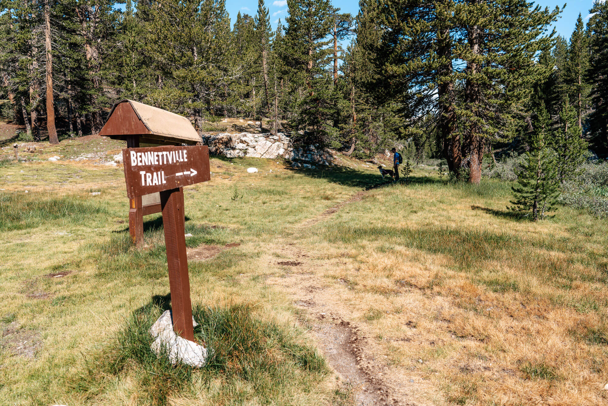
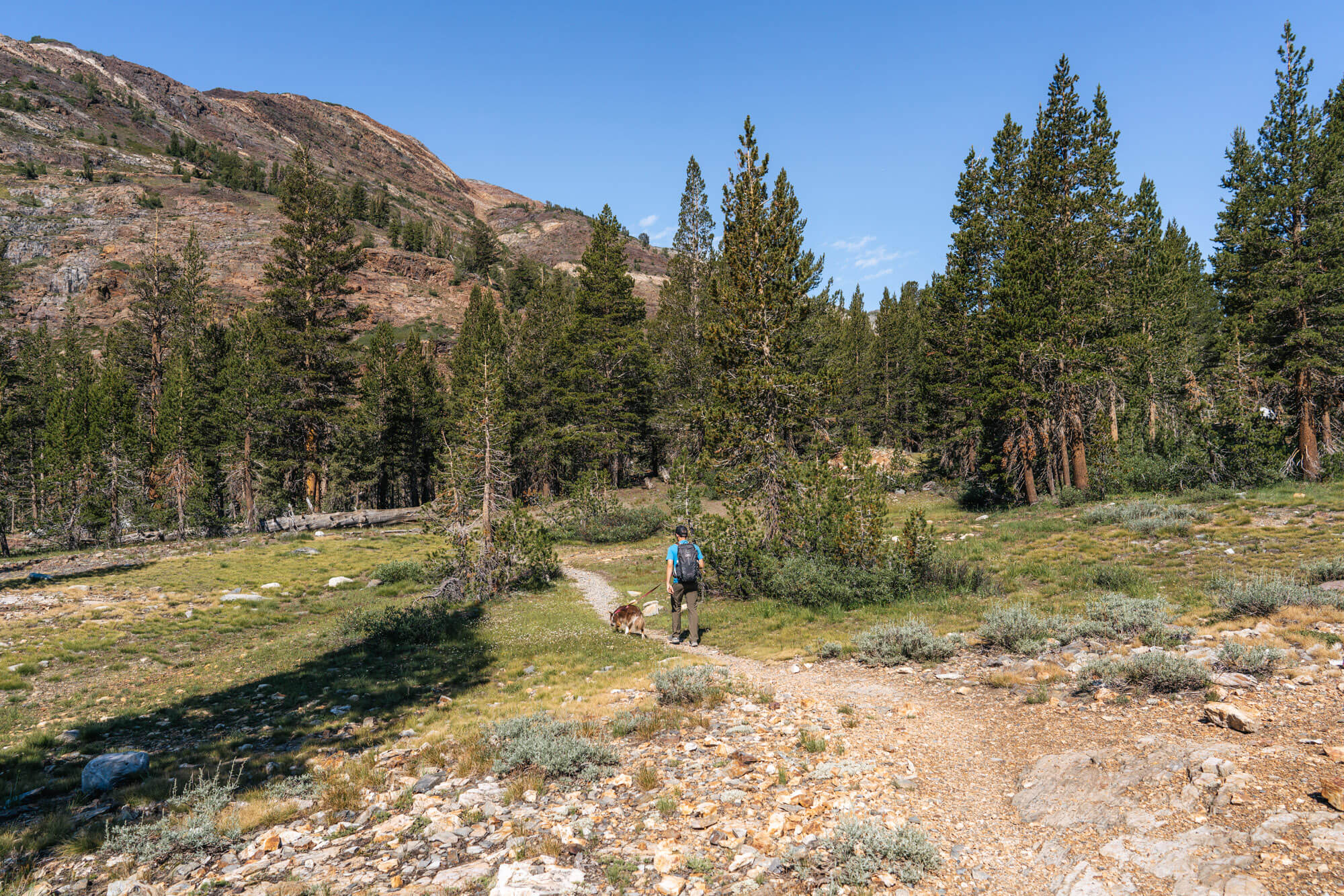
This wasn’t our first time hiking this trail; we last made the trip in 2015 and decided it was time to check it out again! There’s no “official” trail to the lakes, but the use trail to them is well-defined. It’s an extension of the Bennettville Trail, which starts at the Junction Campground along Tioga Pass Road, and is easily followed along Mine Creek.
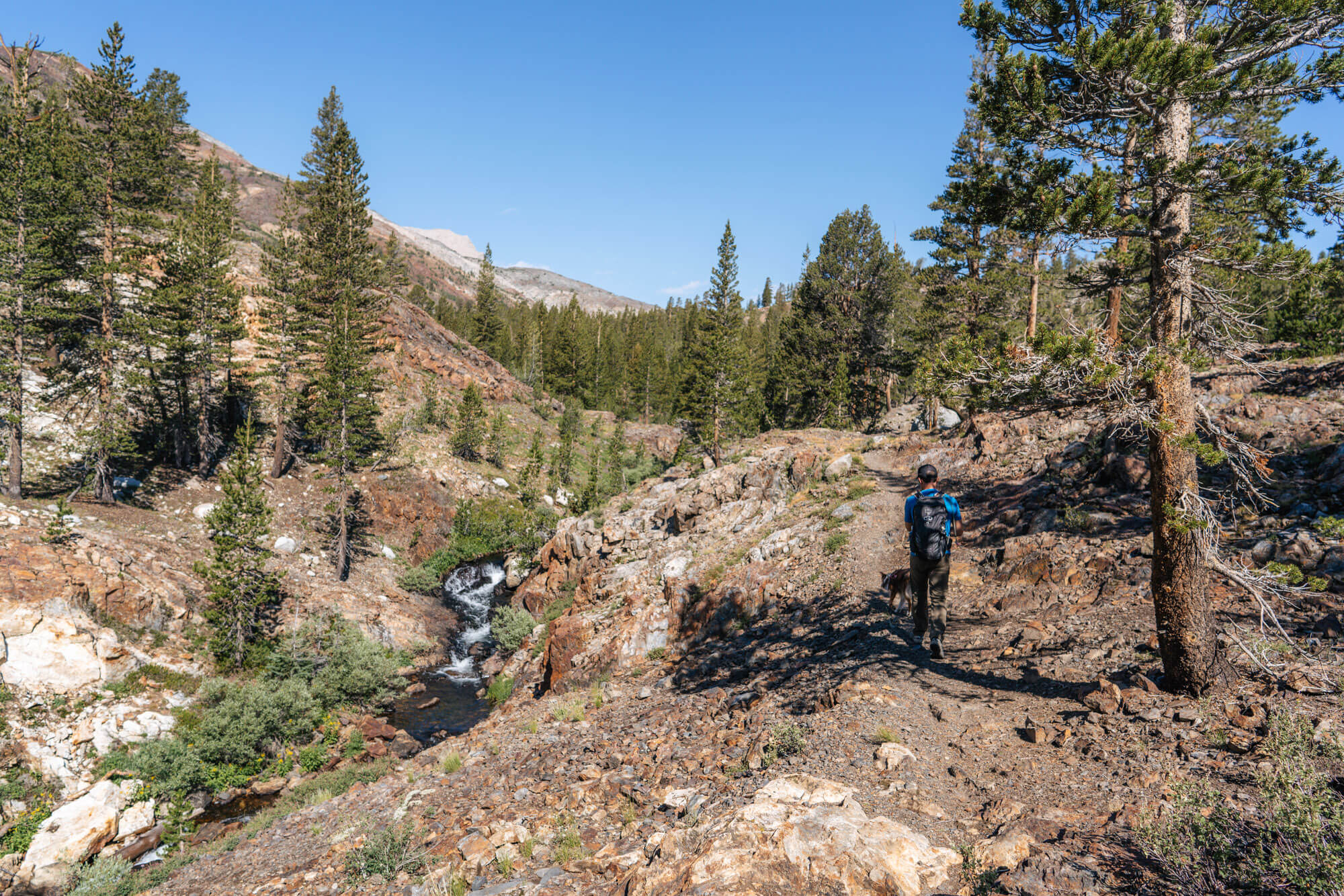
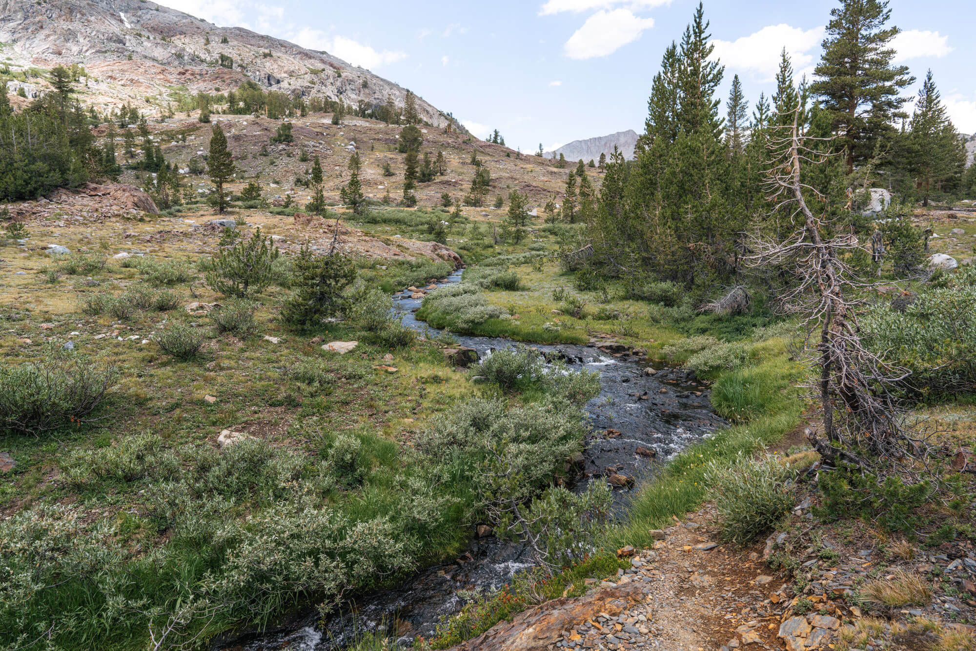
The trail starts off briefly along Lee Vining Creek before quickly turning up the hill, along the campground, and then heads over the hill towards Mine Creek. This section of the trail to the old mine is on the high banks of the creek and there are some nice little cascades along the way.
Most of the elevation gain is also on this portion of the hike. After about .75 miles you’ll catch the first glimpse of one of the old buildings up to the right.
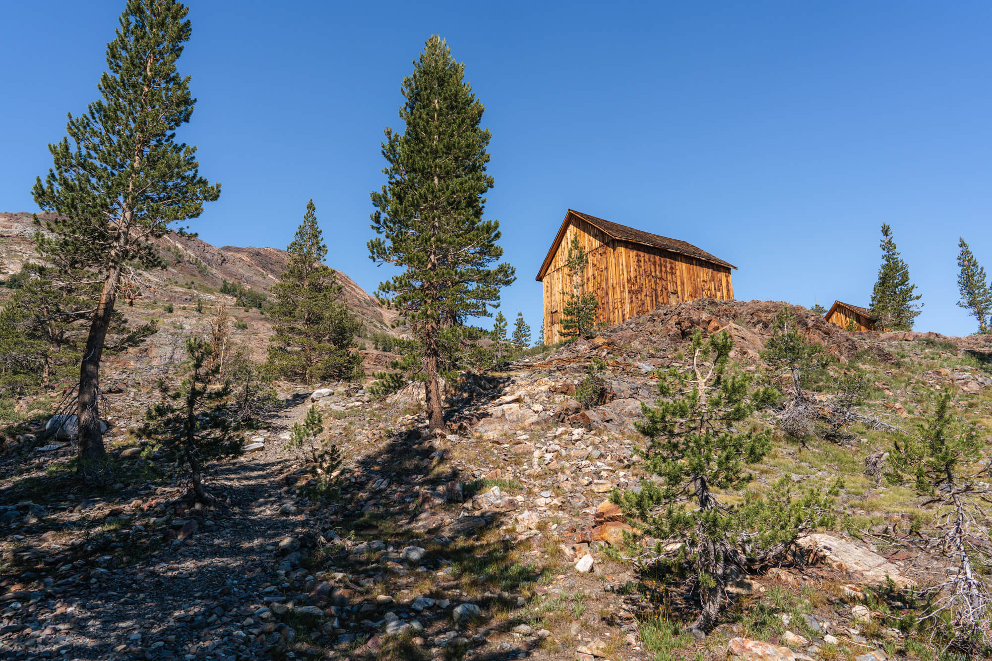
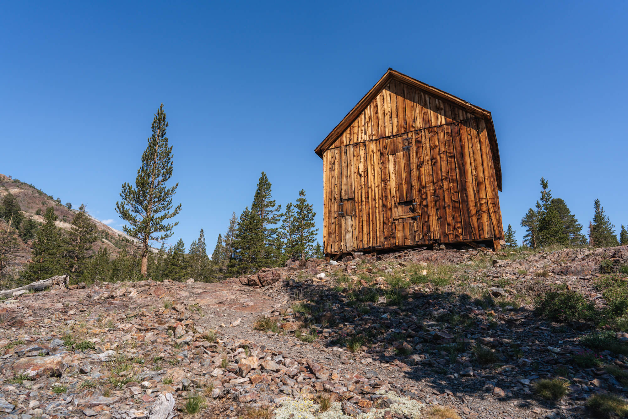
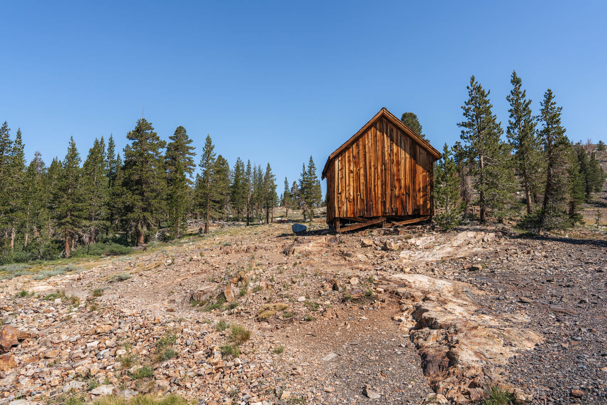
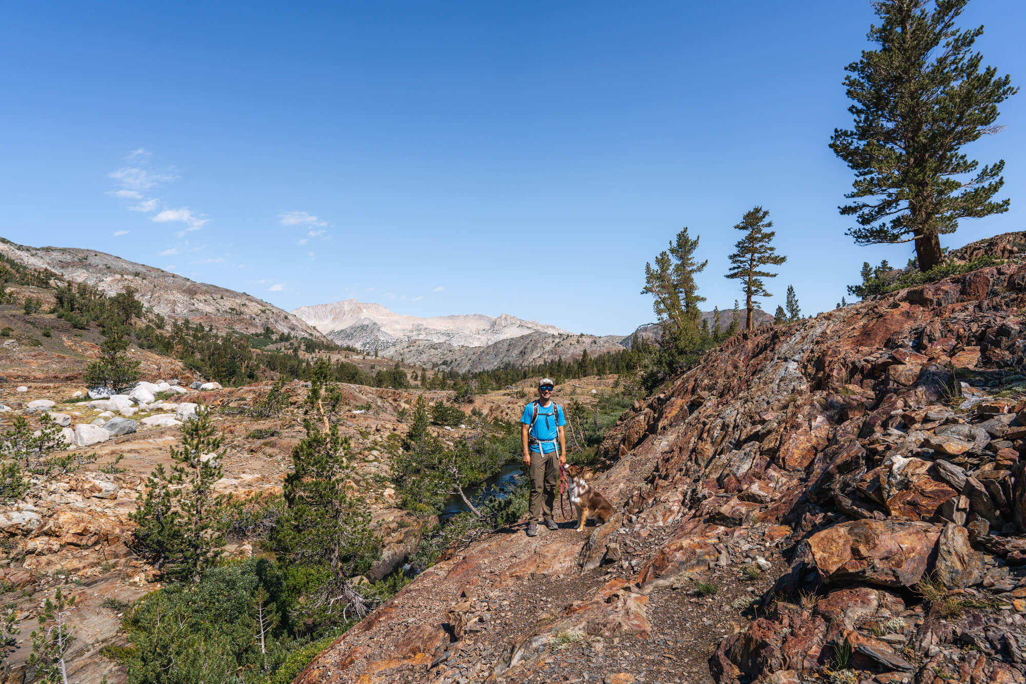
This is where the Bennettville trail ends and the unofficial trail to the lakes farther into the valley begins. It’s not hard to find the continuing trail to the left of the buildings.
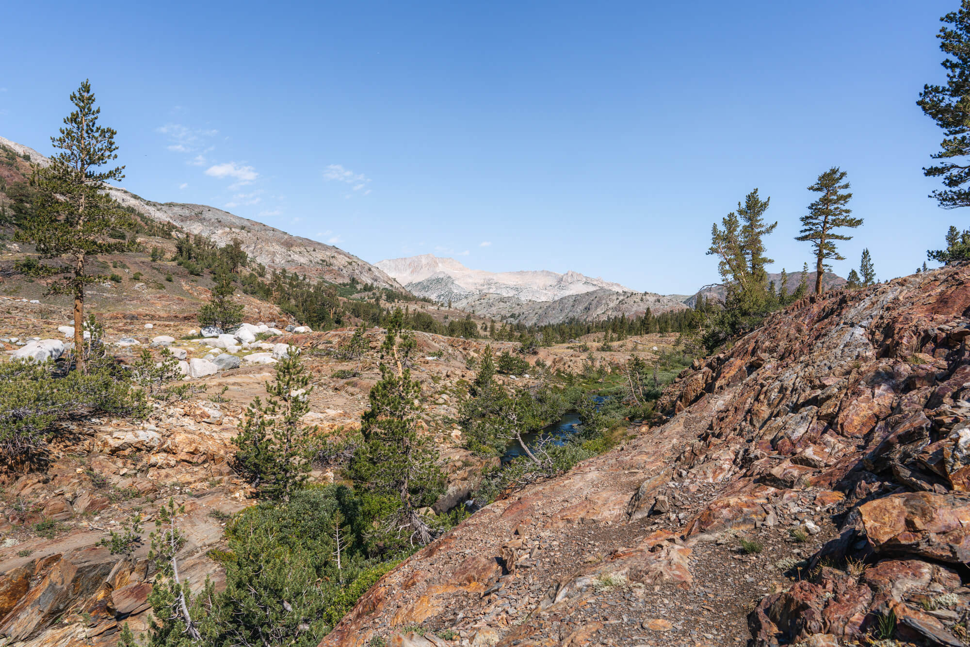
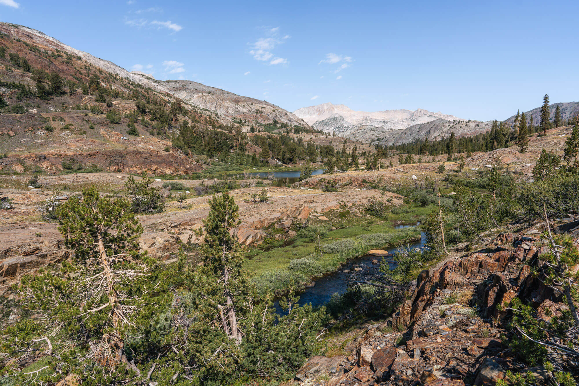
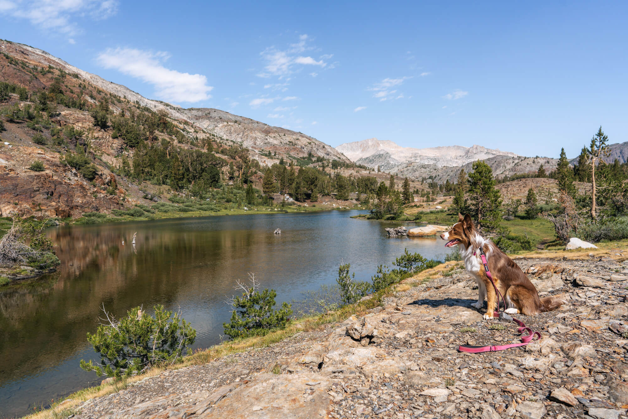
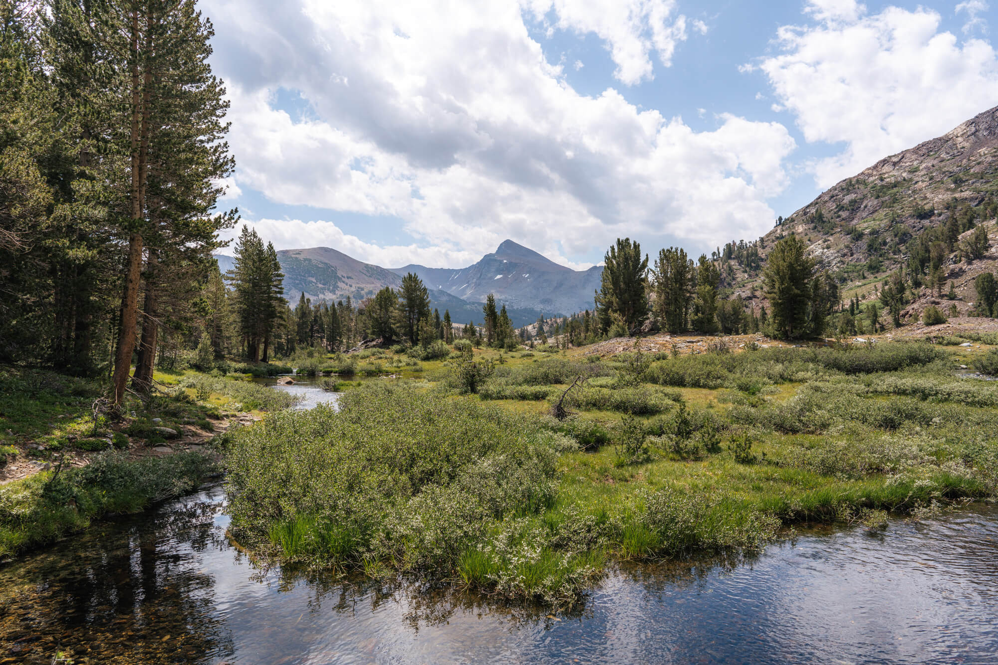
After leaving Bennettville the trail becomes relatively flat. The trail then winds into the trees for a bit before opening up to expansive views of the glacial valley ahead, with Mount Conness in the background.
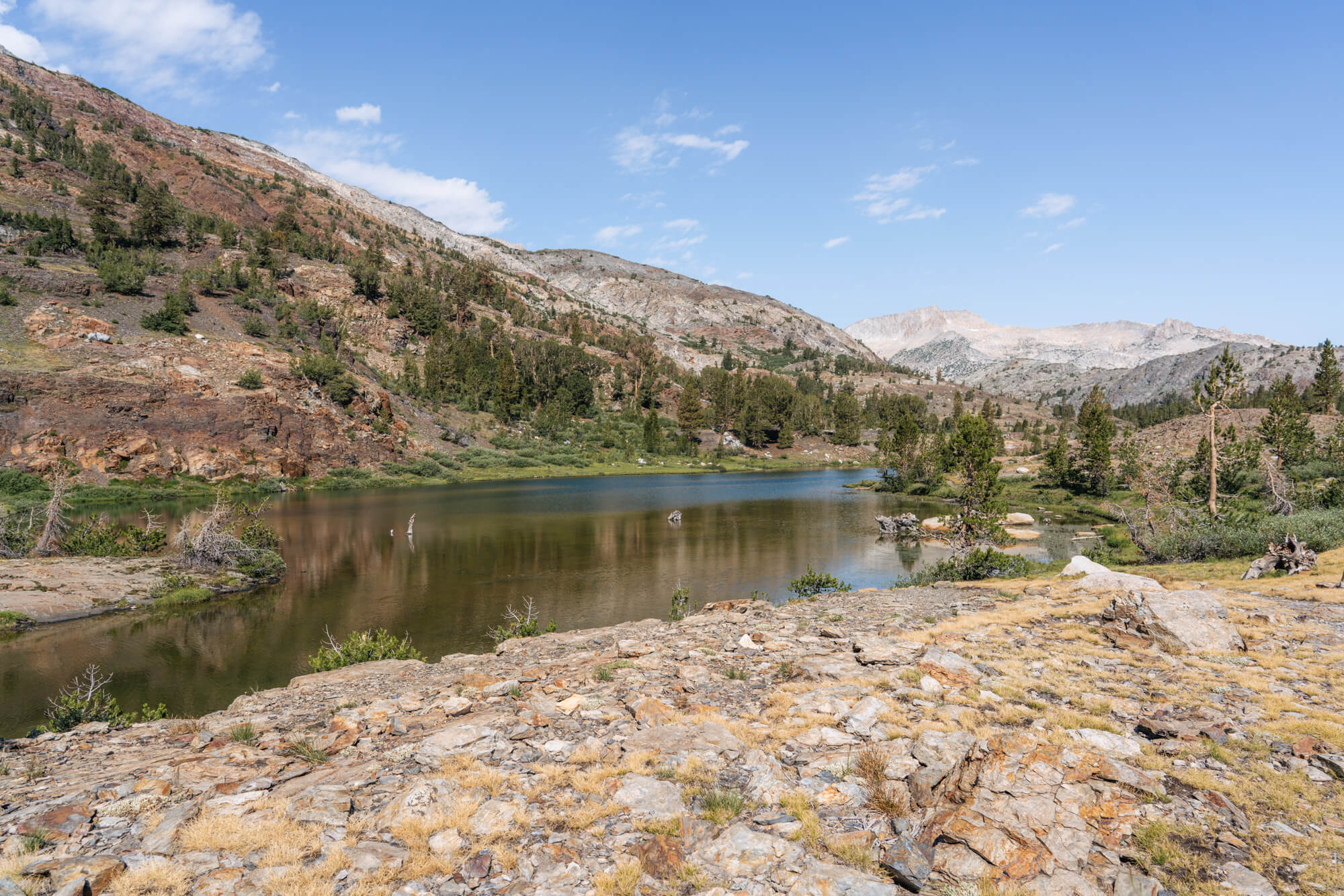
And before long, Shell Lake comes into view.
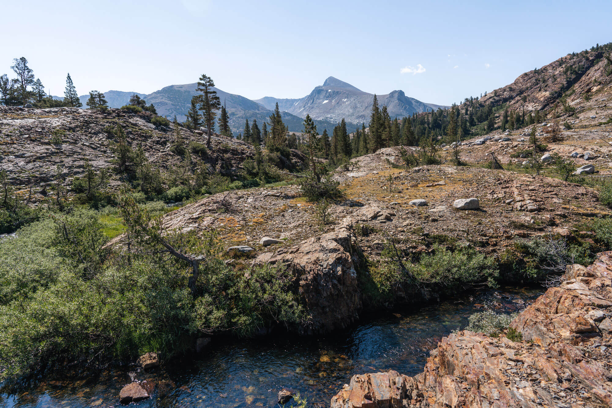
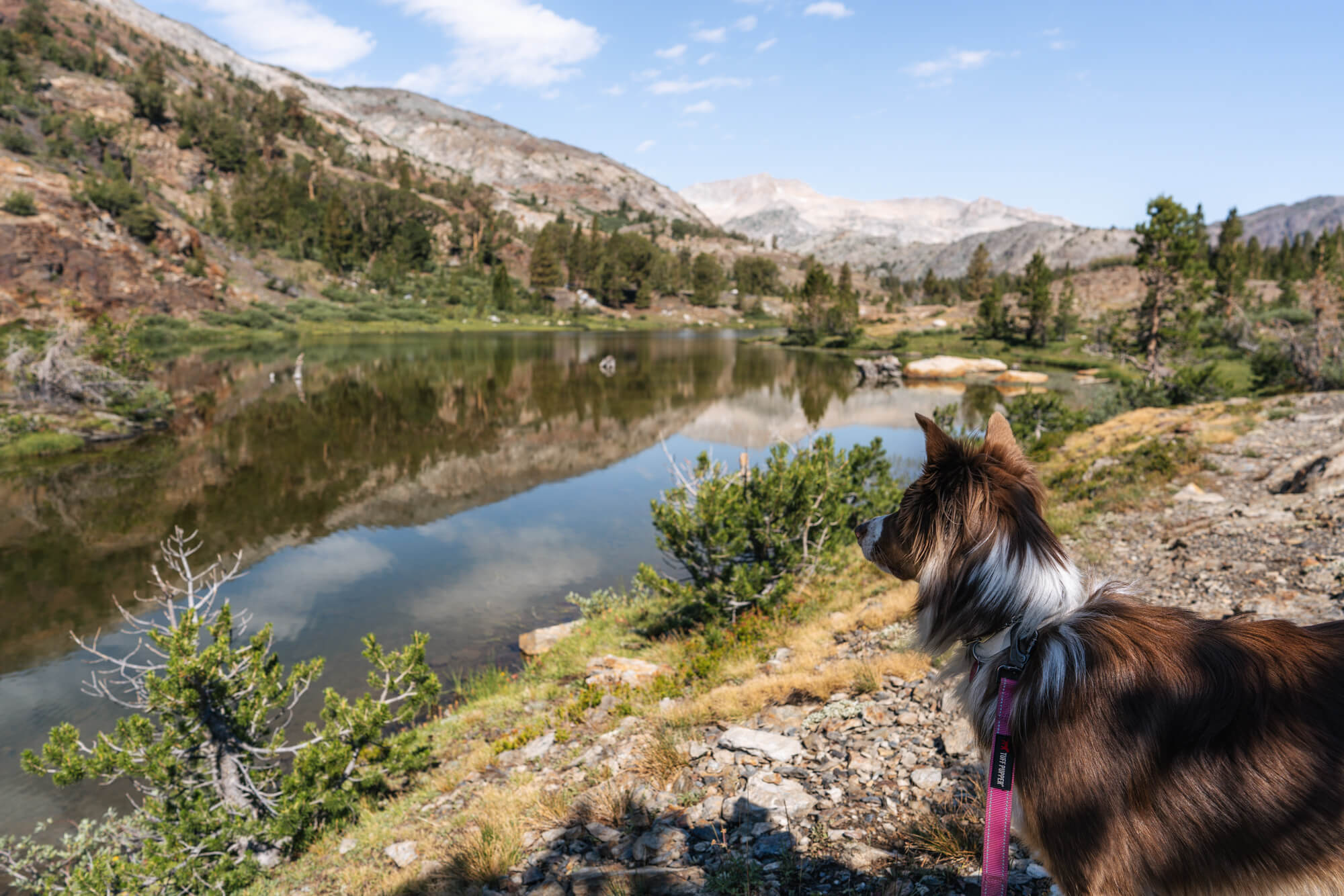
The views looking back toward Mount Dana aren’t bad either!
As soon as we reached the shore of Shell Lake, we saw some little fish rises! Last time we visited we also threw in a line and found plenty of small brookies.
The fishing was no different this time: the little guys were hitting almost everything we threw in – all caddis dries, which is always fun! The fishing is easy, but just a forewarning the fish are literally little and of the probably ten fish we caught in under 30 minutes, the average was probably 4-5″. It would be a great place to practice fly fishing and get a boost of confidence.
After catching fish all along the shore, we decided to make our way to the next lake.
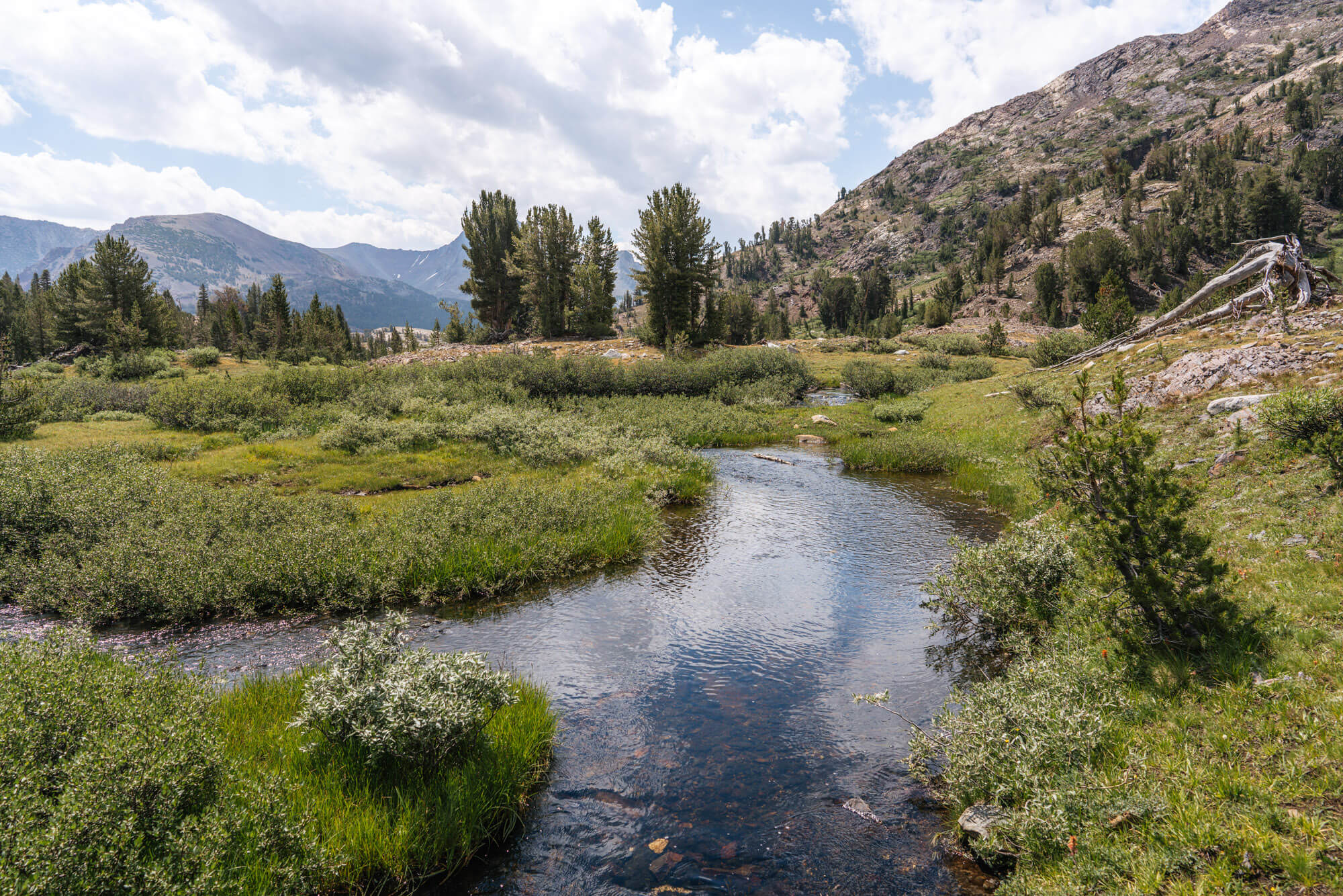
The trail between Shell and Fantail follows the winding creek and offers some of the most idyllic views of the area.
We should also mention that up until this point, we hadn’t seen a single person on the trail! We passed and chatted briefly with one solo hiker at this point who was heading back toward the campground. This was the least amount of traffic we’d seen all week, and on a Saturday no less!
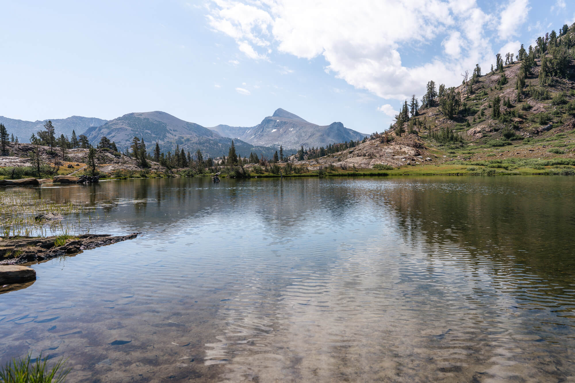
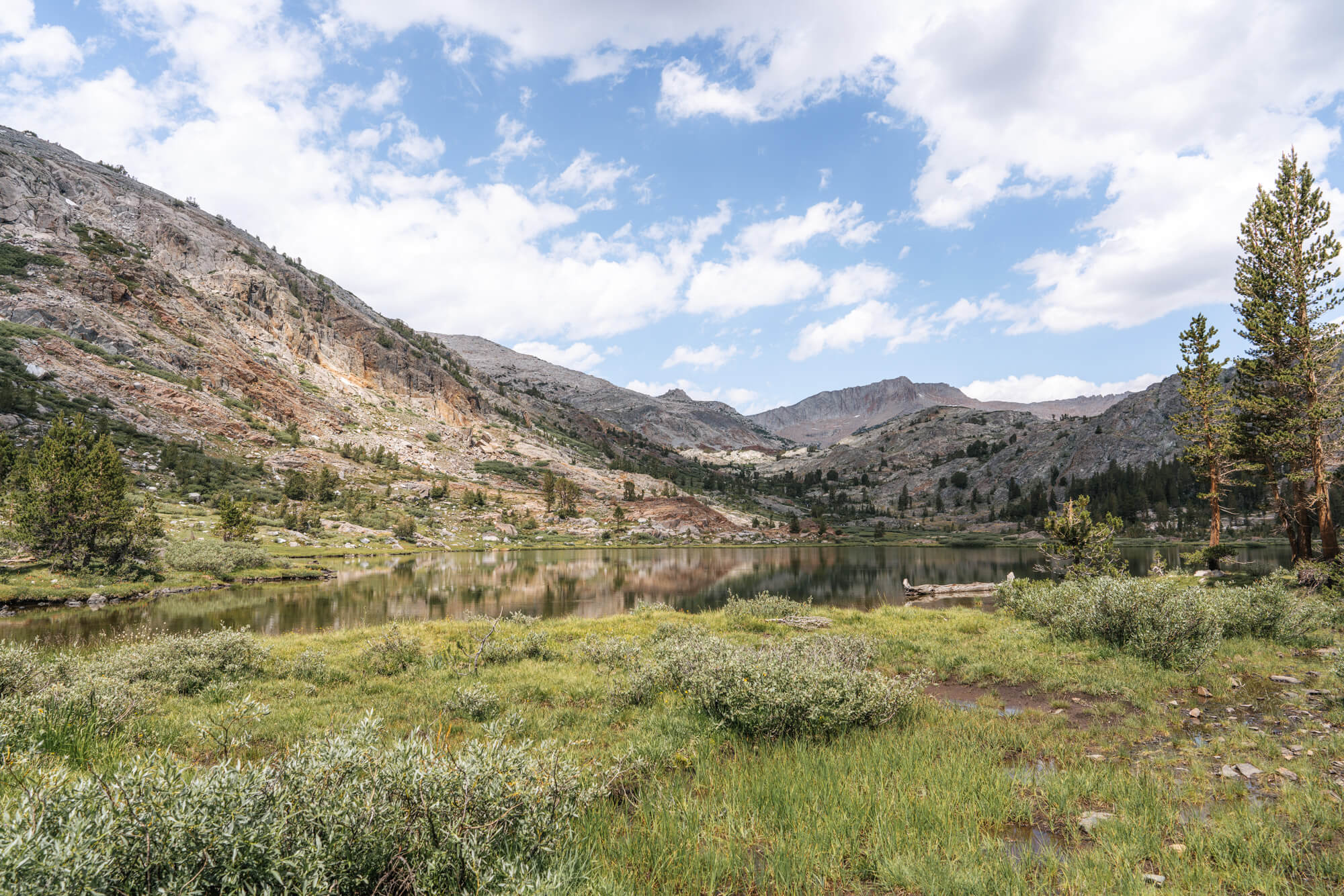
Fantail is a few minutes up the creek from Shell and is a bigger lake.
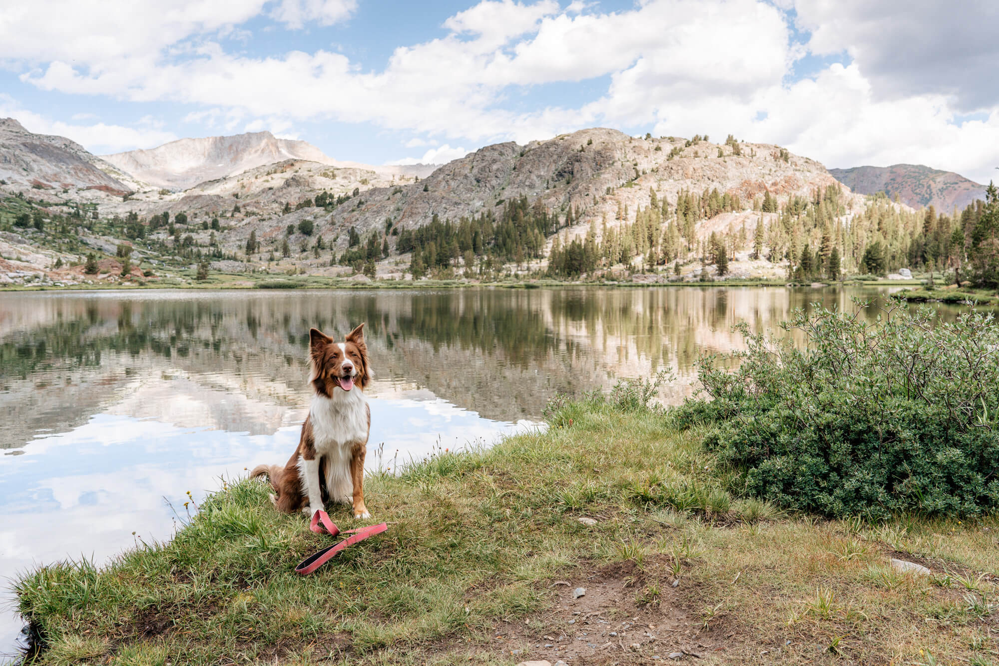
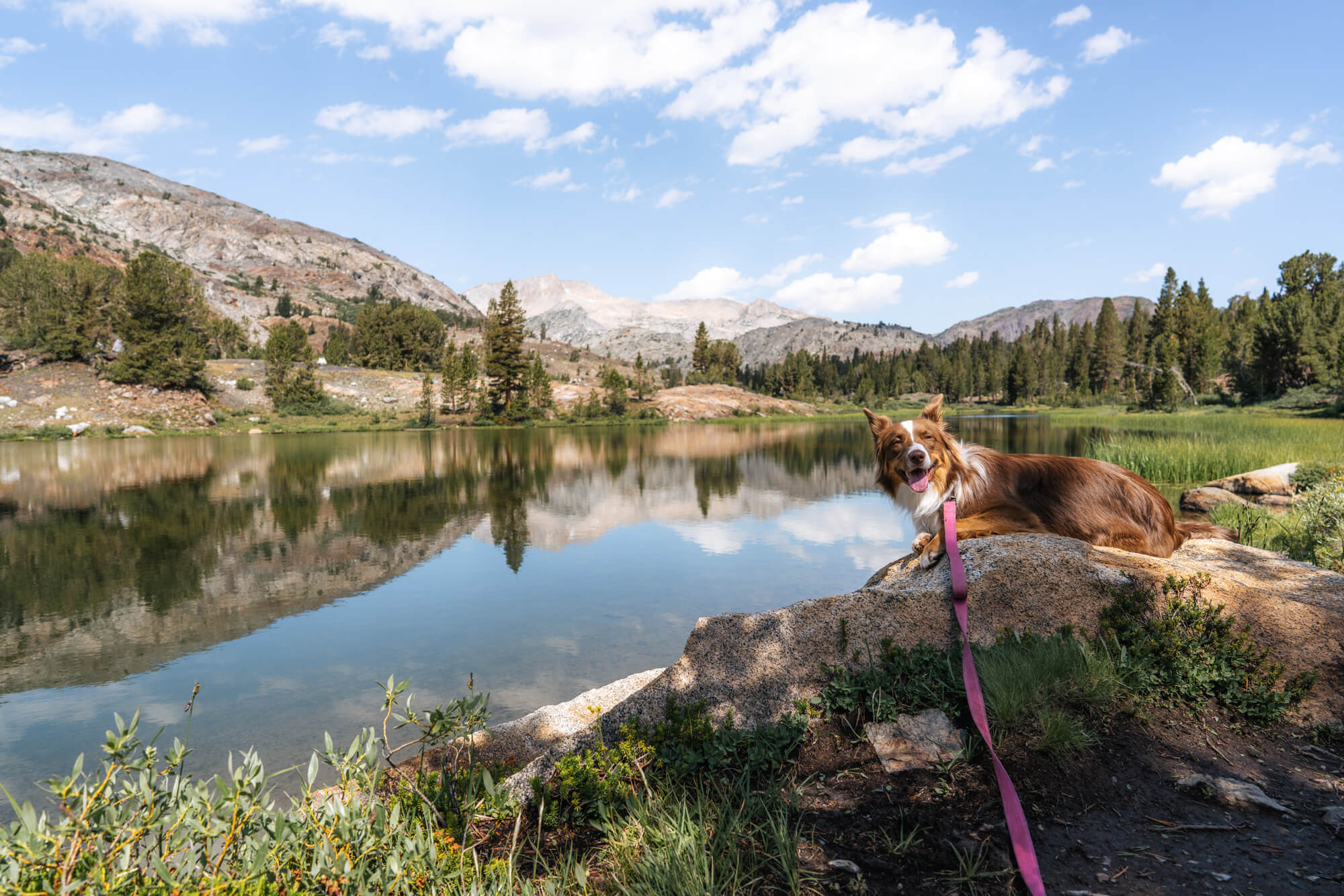
We tossed in a line and immediately caught another little brookie. The fish are similarly sized in this lake. Admittedly, we didn’t stay long here because there were considerably more bugs at Fantail than there were at Shell and we are not about that experience. Plus, River was starting to tire out (we’re still working on her hiking endurance). So snapped an obligatory cute puppy with cute background photo and turned around to head back to the car. Please enjoy said photo:
Sidenote: We have actually hiked past Fantail the last time we took the trail from Bennettville. Unfortunately we don’t have any photos from the section after Fantail since it was 6 years ago. We do remember that the trail peters out considerably after the lake. It’s still findable and definitely doable to make it to the next lake, Spuller. While the trail had been relatively flat to Fantail, there’s a bit more of a climb to Spuller. We’ve also hiked to Spuller on a cross-country route from the other direction (starting at the Sawmill Walk-in Campground down the road a ways), you can read about it and check out some alternative views of the area in our Hiking to Spuller and Maul Lake post!