The Island Lake and Ice Lake loop hike was one of the first things we put on our must-do list for our southern Colorado road trip. Even though the lakes didn’t boast any epic fishing and the hike seemed difficult, we couldn’t resist the call of possibly some the bluest and most beautiful alpine lakes in Colorado.
We arrived at the trailhead at 7:30 on a Wednesday morning to a half-full parking lot. This is one of the most popular hikes in all of Colorado, and we’ve heard the trailhead can be full by 7 AM on the weekends. Thankfully we were staying only a 20-minute drive away in nearby Silverton, so we didn’t have to wake at an even more ungodly hour to claim a spot.
There are a handful of lakes in the basin and a couple route variations, but we decided to do the Island Lake and Ice Lake loop, which goes counterclockwise from the split and arrives at Island Lake first. Going this direction gains all the elevation upfront (2600 feet in 2.8 miles) and is very steep, so if you prefer a more gradual elevation gain, we’d recommend going clockwise.
The first section of the hike goes through an area that was burned in October of 2020, but the forest floor seems to be recovering nicely as there were many wildflowers at the base of the charred fir trees. The first notable feature of the hike is Clear Creek Falls, which is just to the east of the trail as it leaves the burn area.
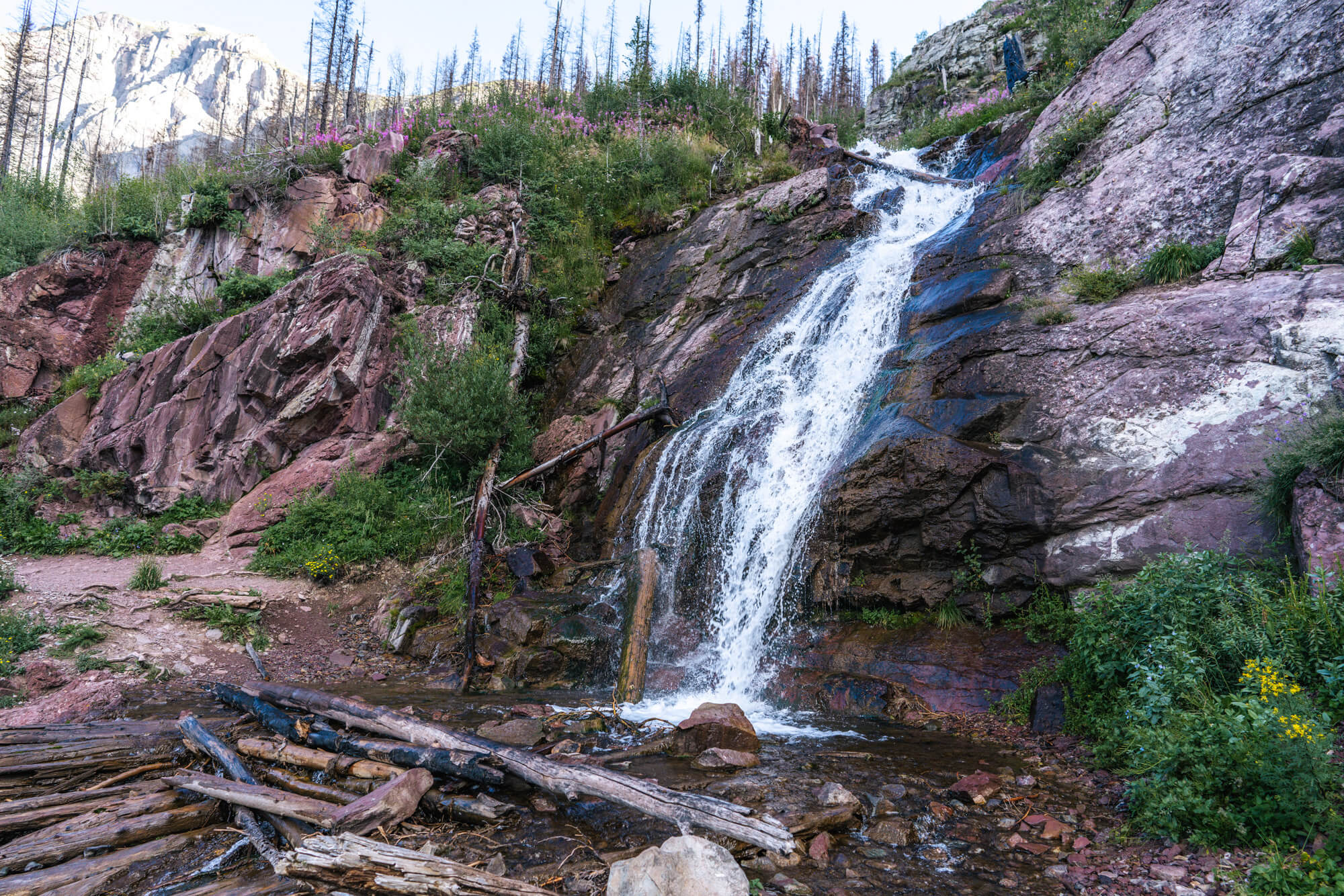
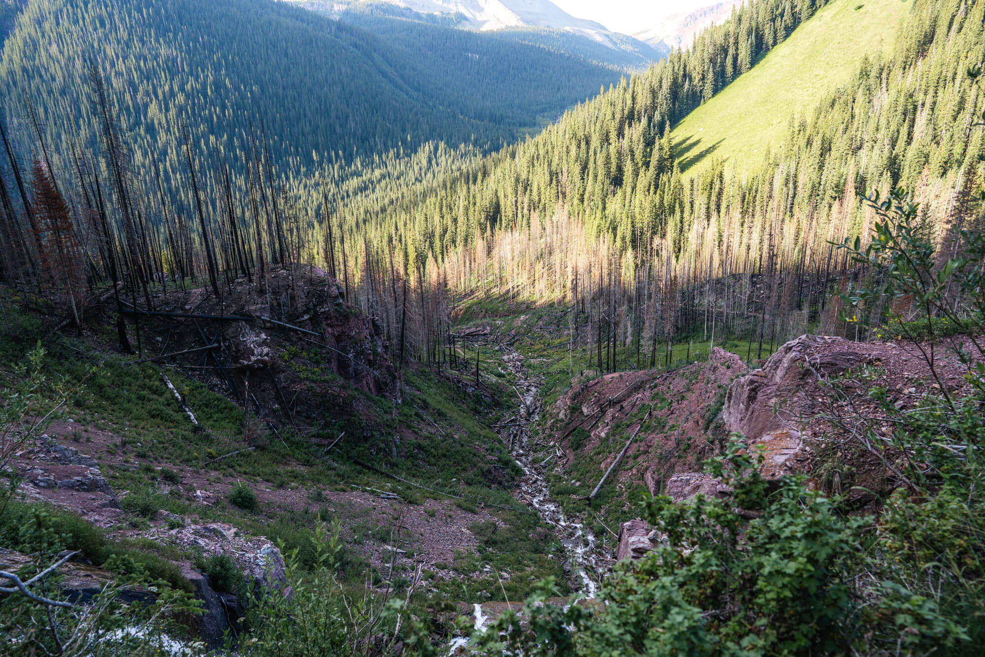
After the falls, the trail heads up the valley to the west at an unrelenting pace. Gaining over 900 feet per mile, it’s easily one of the steepest trails we’ve hiked. As we made our way up, the views opened up to a meadowy section where many Fireweed near full bloom laced either side of the trail.
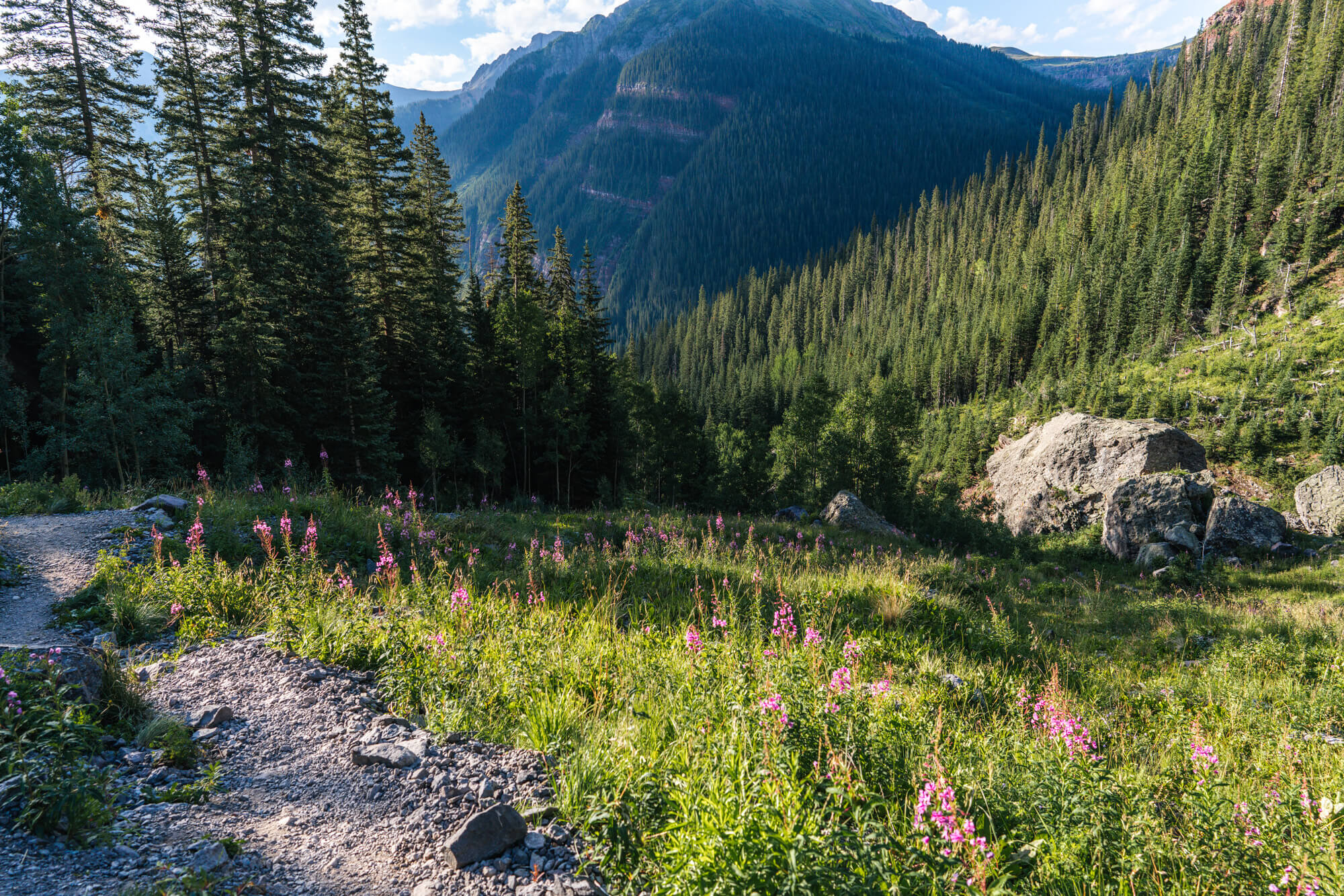
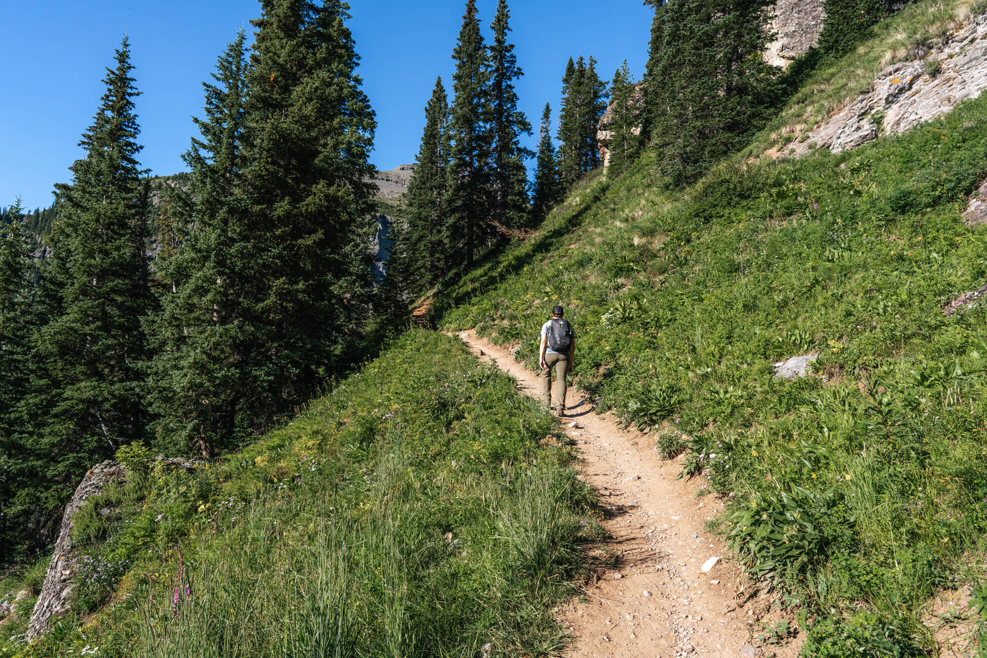
Past this first meadow section, the trail heads up a series of switchbacks in a forested area where Ice Creek can be heard in the distance. There are some social trails that head off in that direction, but we opted to keep trudging ahead.
At about 1.75 miles, the trail levels out as it approaches Lower Ice Lake Basin. The split to Island Lake is at the beginning of this section, but it is unmarked, so keep an eye out for a trail the splits off to the right. In fact, this trail doesn’t even show up on the USGS or Forest Service Topo maps, but it is well used, easy to follow, and with the area’s popularity, you’ll likely see people on the hillside on the trail.
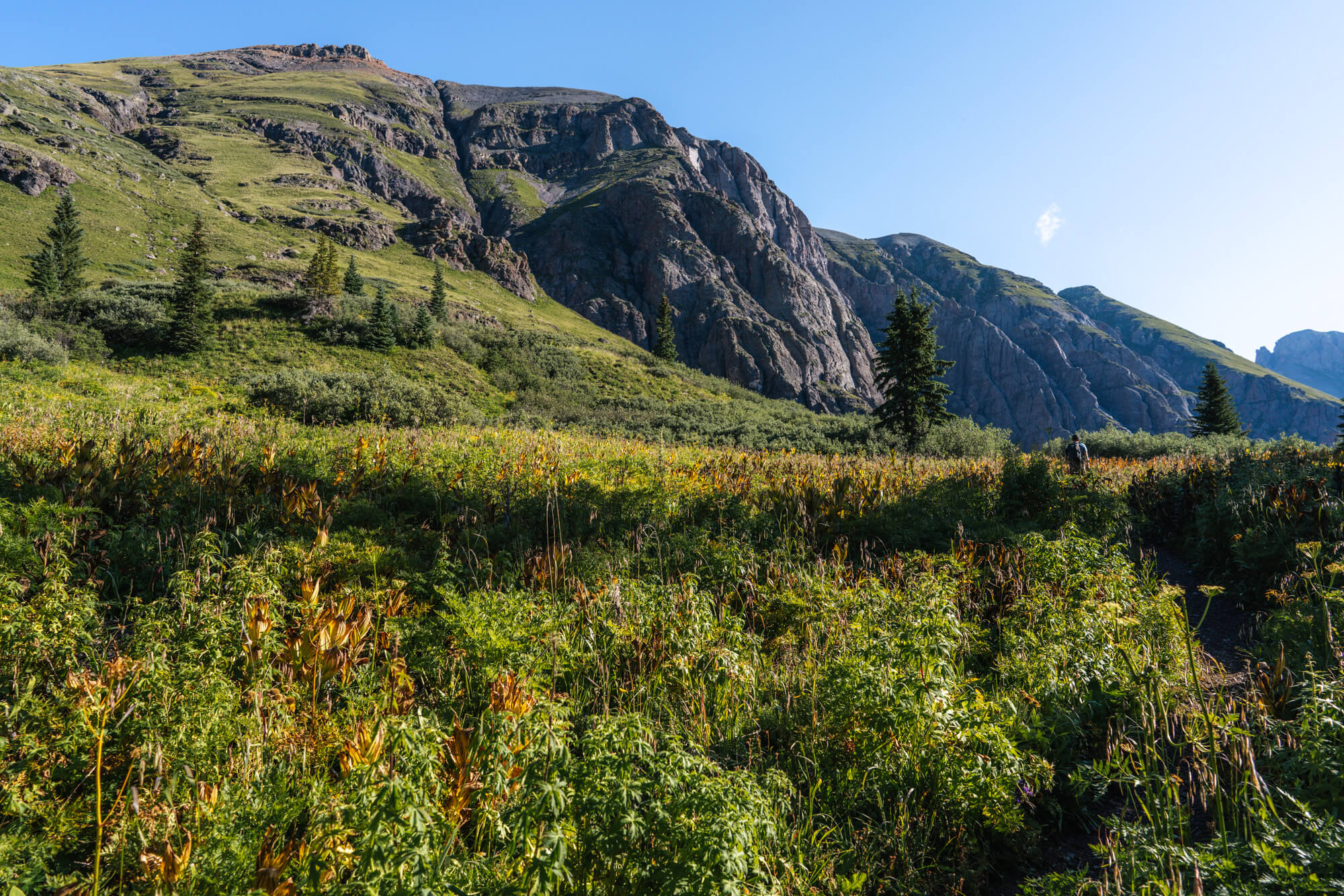
The elevation at the trail split is 11,400 ft, so for the rest of the hike we were above the trees. The entire hill side up to Island lake was covered in dead wildflowers. There were a few still hanging in there because of the great summer monsoon, but most had wilted within the last couple weeks. We imagine this section would be in filled with coloful flowers during the month of July (and probably mosquitos).
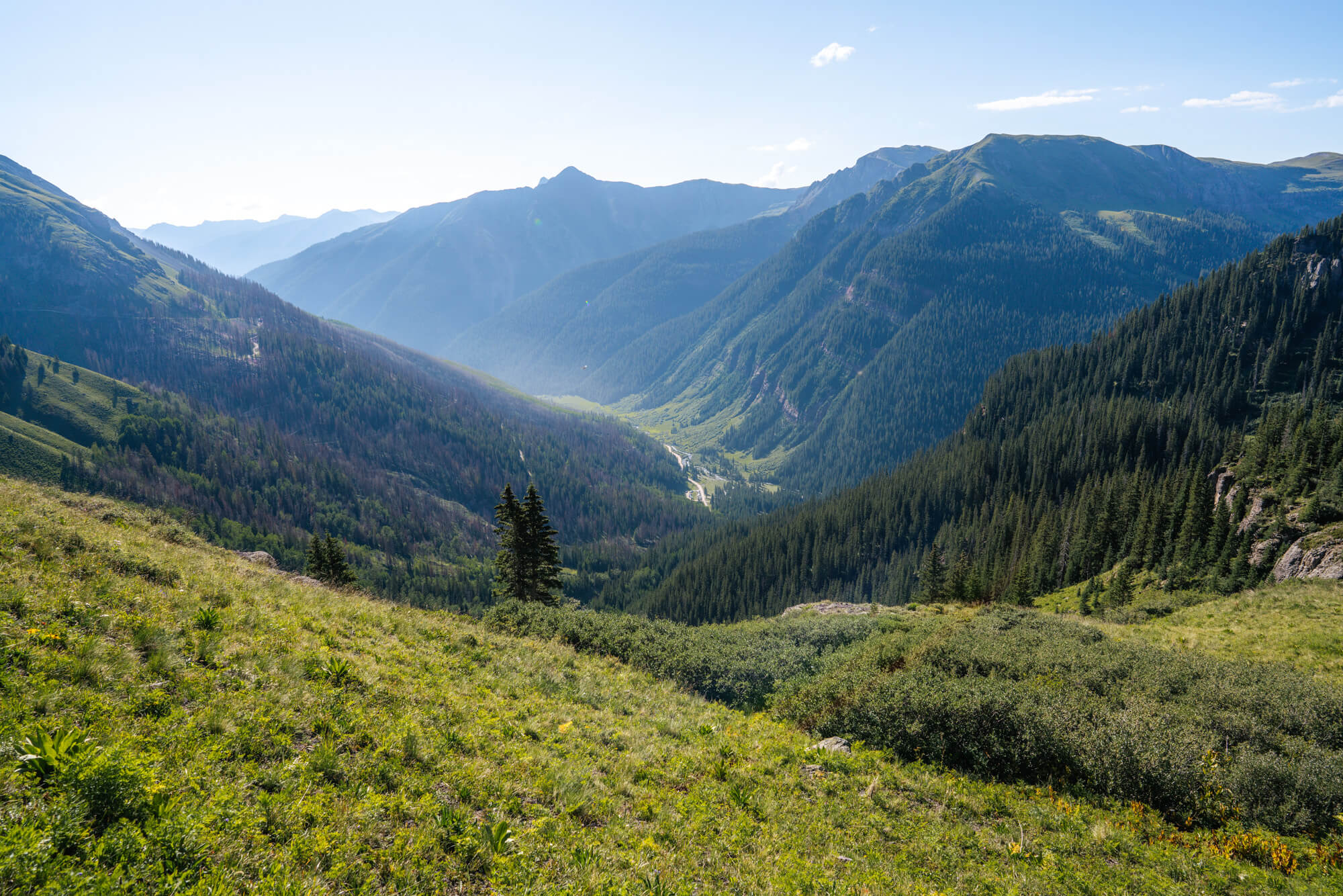
We huffed and puffed our way up the mountain to Island lake, stopping often to catch our breath and take photos of the incredible views down the valley. Every so often we would catch a glimpse of the peaks along the crest to the west like Golden Horn, Vermillion Peak and Fuller Peak.
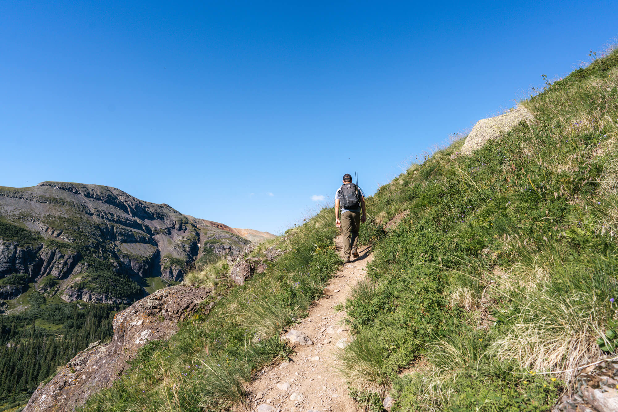
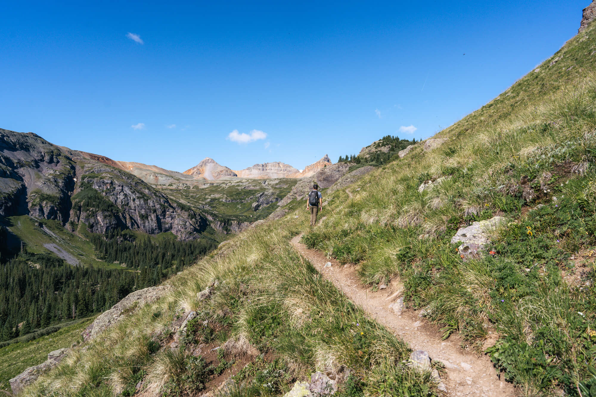
About 3/4 of the way to Island Lake the trail joins a small spring-fed creek and we began to notice more wildflowers still blooming at 12,200 ft.
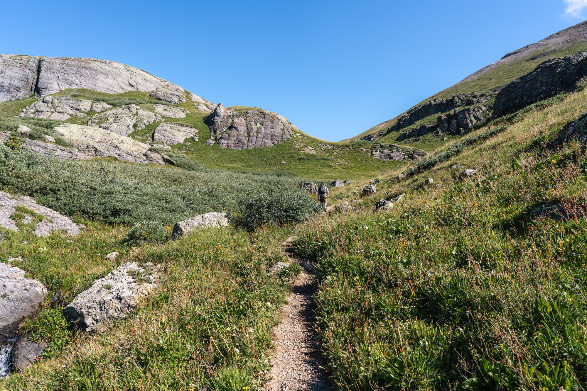
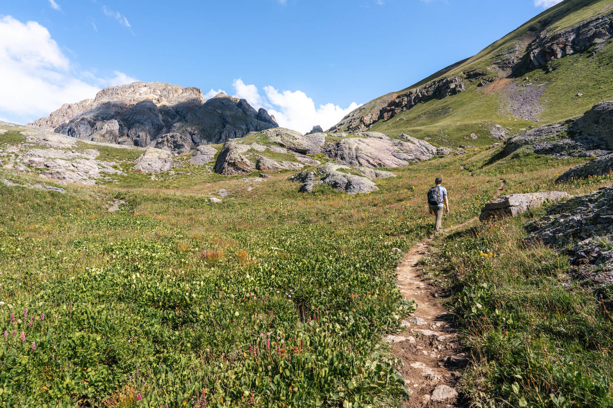
Eventually, the terrain finally mellowed out and we could sense that Island lake was at the base of the mountains just over some small hills.
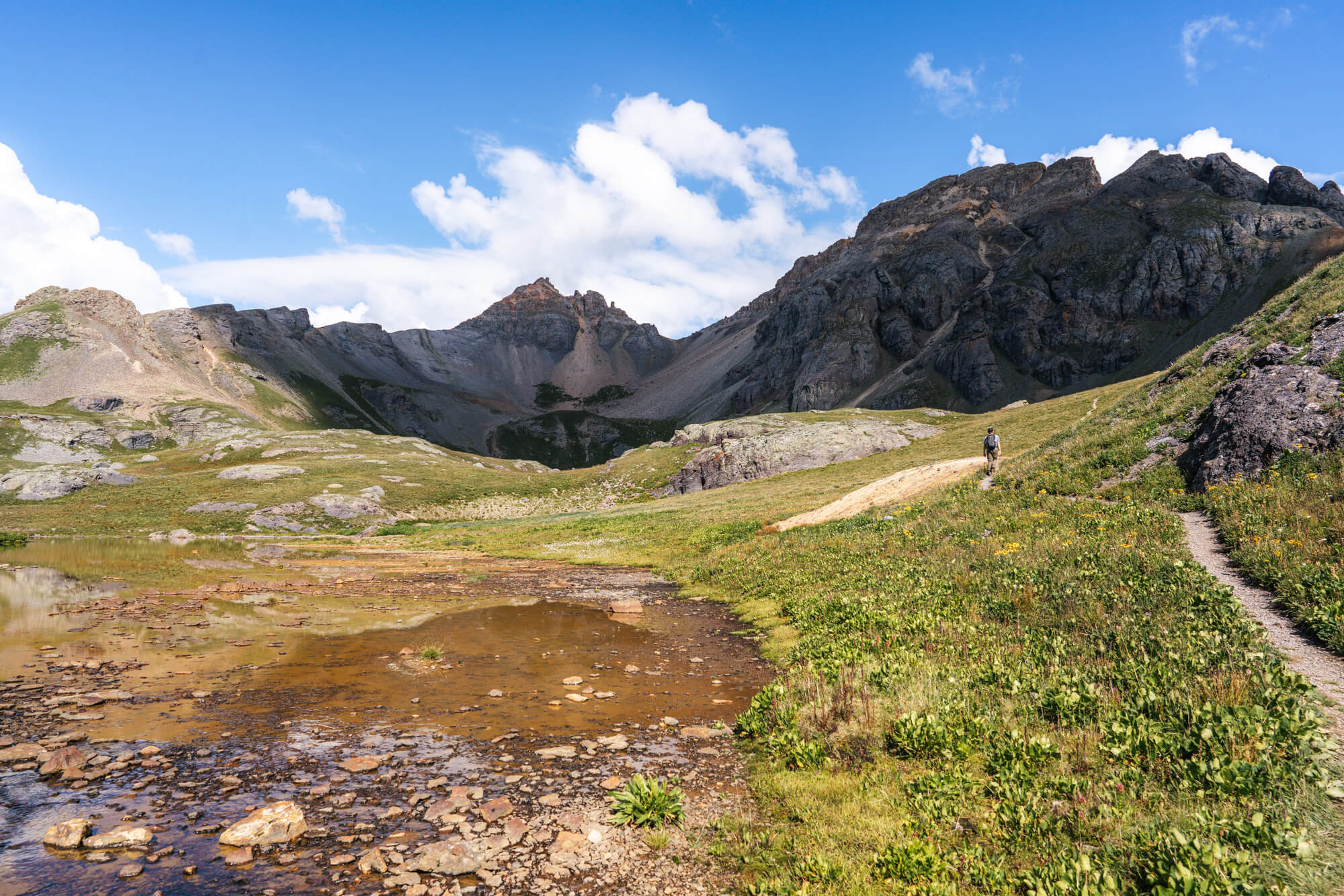
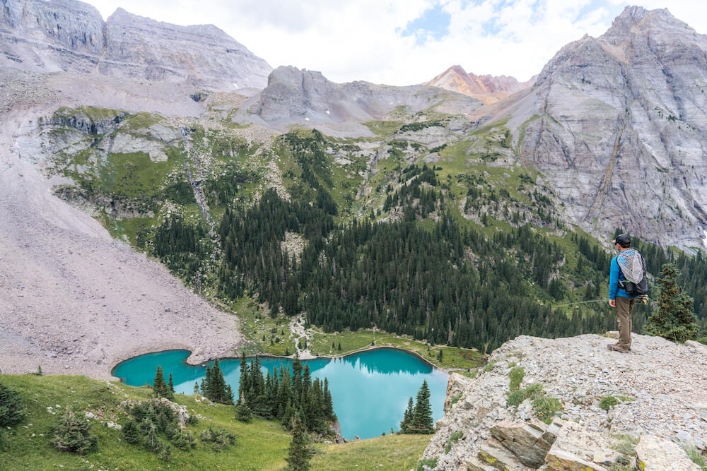
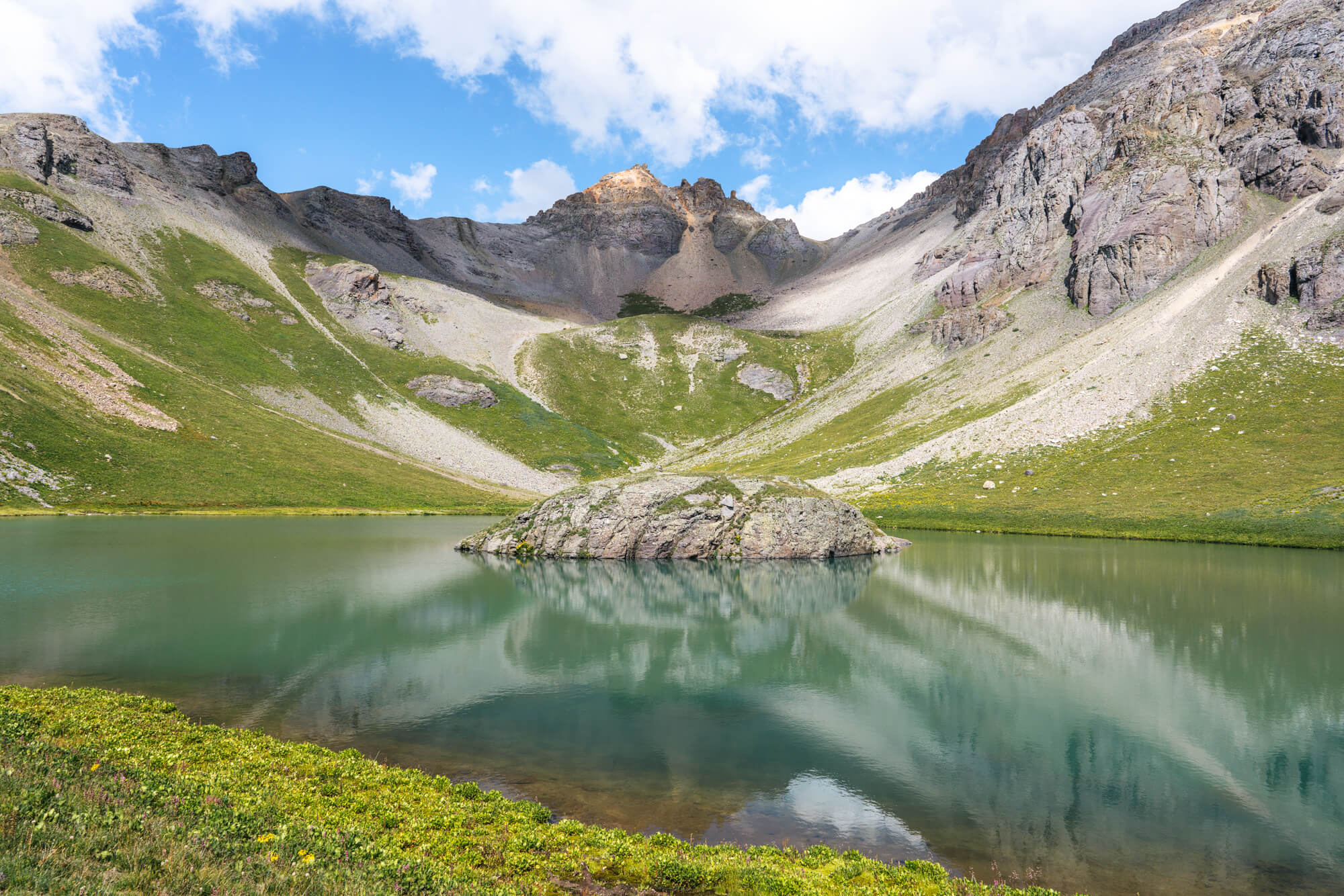
Island Lake is a sight to behold. The lake’s namesake landmark sits in the center of its emerald waters. The formation makes the lake quite unique.
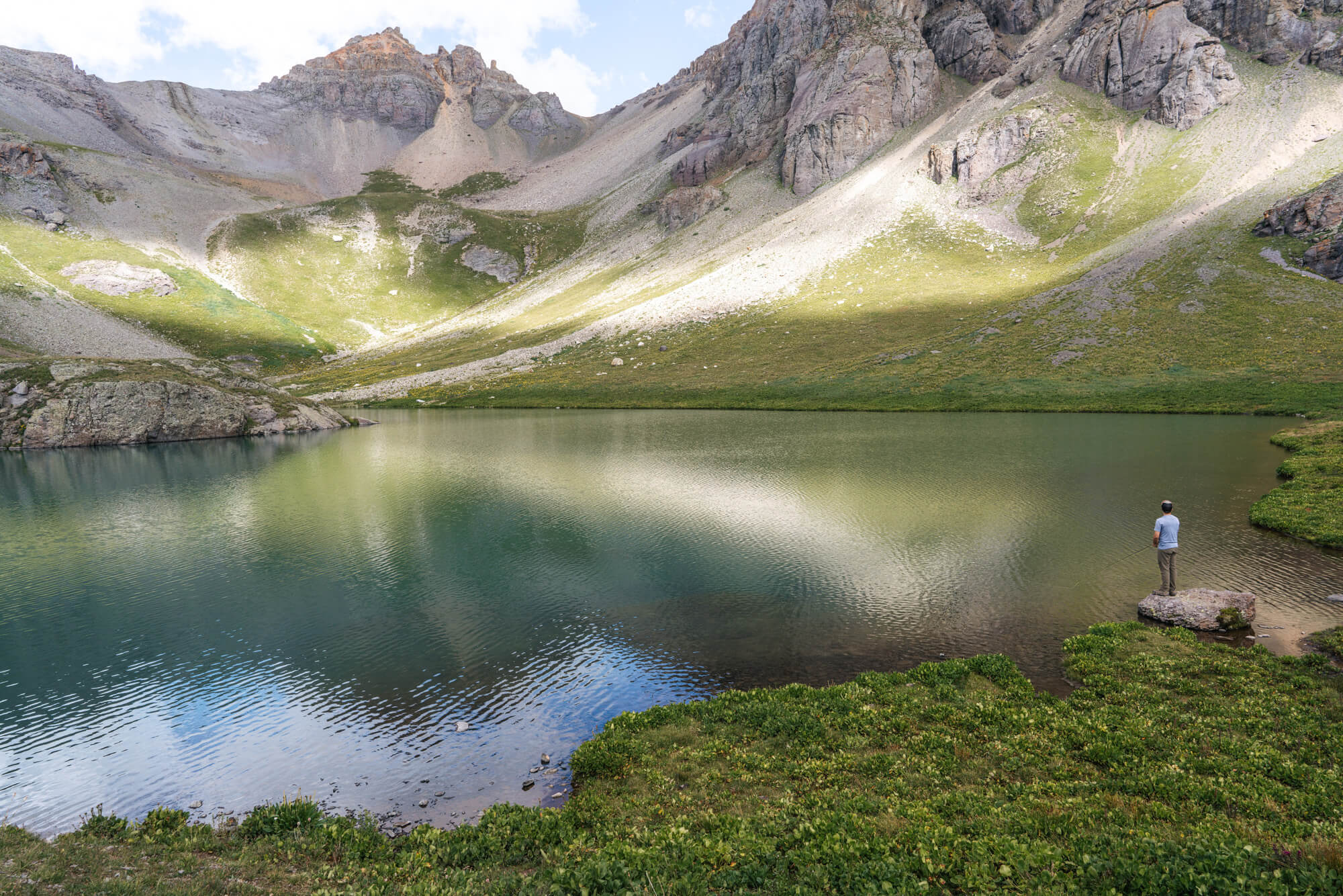
We brought along a fly rod in case of any fish activity, but we weren’t expecting any based on the research we did. We were pleasantly surprised to notice some rises in the middle of the lake while we were taking in the view.
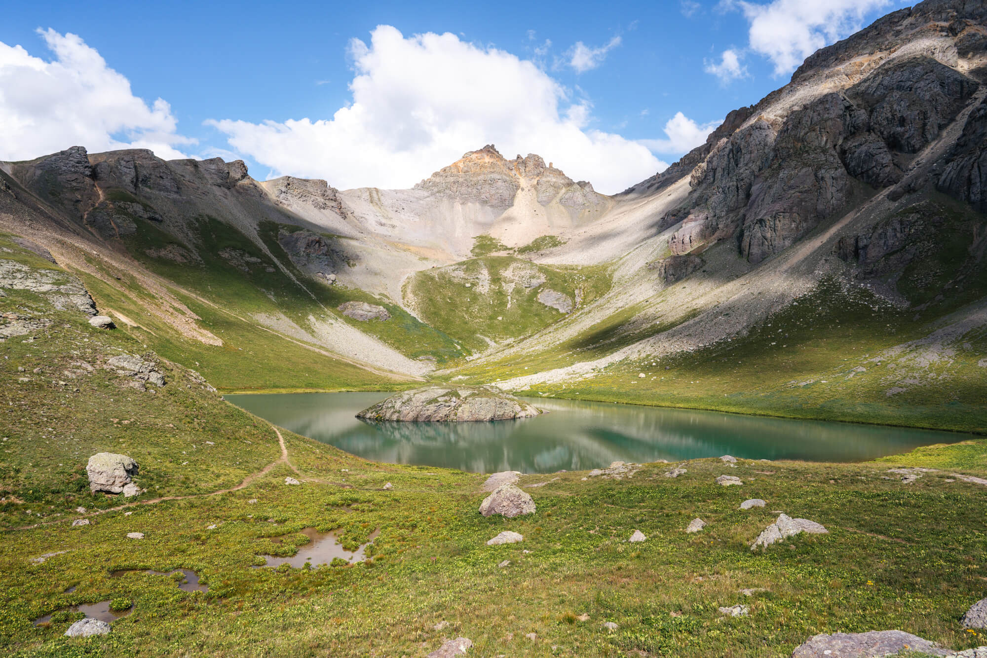
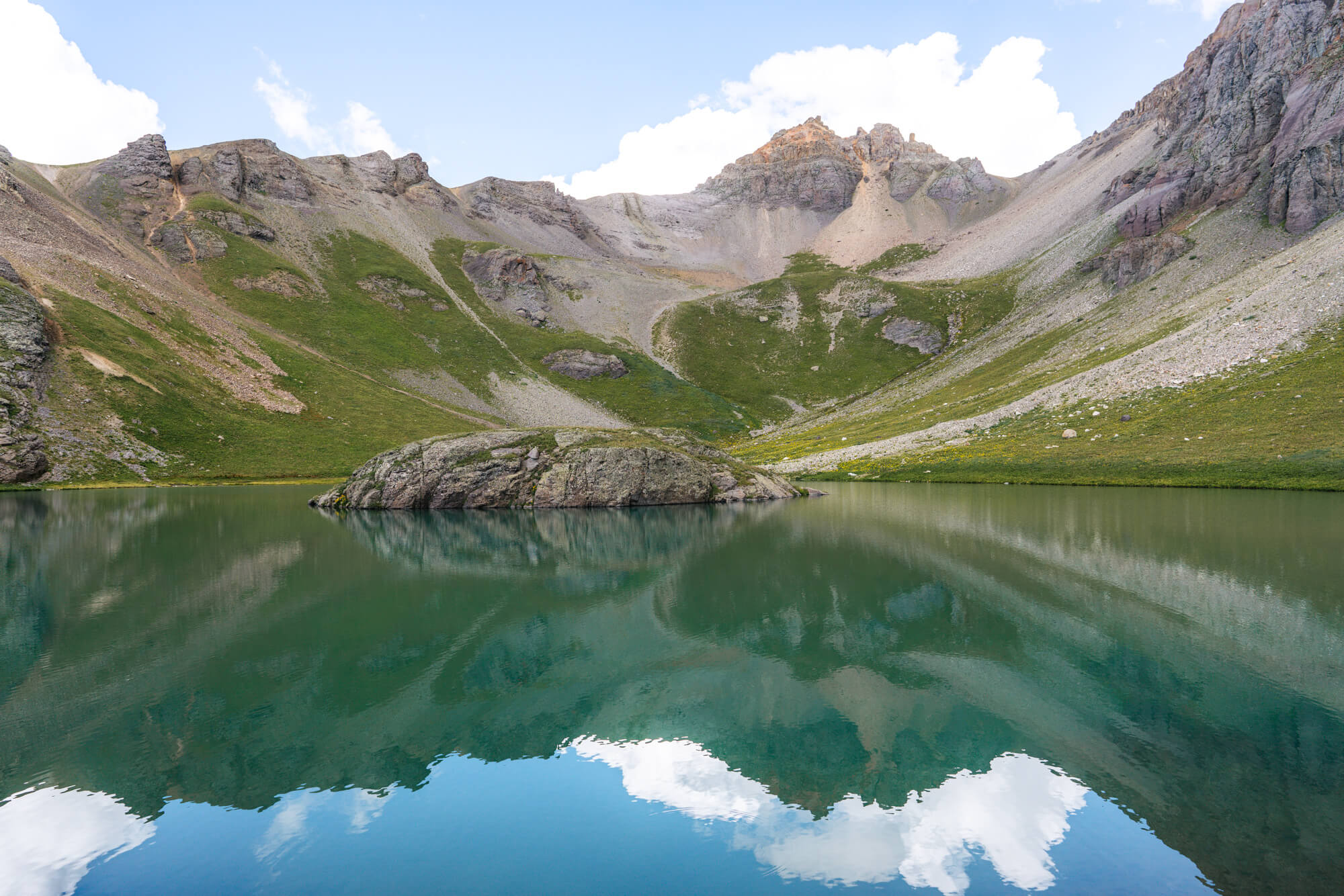
We were one of the first few people to arrive at Island Lake that day, but as Cory fished more and more people began to arrive. There was even one person who swam across the lake to the island and back.
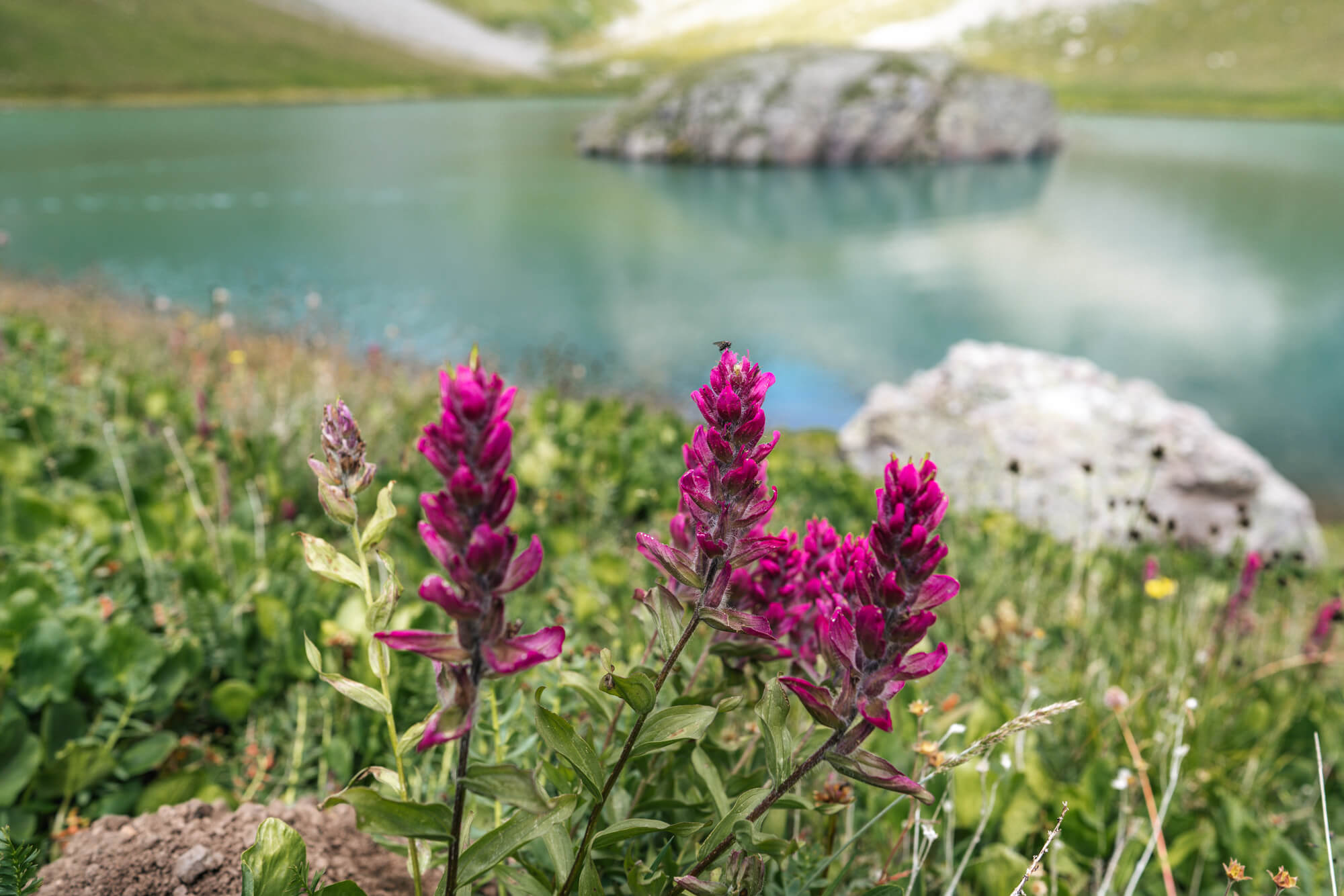
We were also happy to find a few nice specimens of Rosy Paintbrush and Colorado Columbine. It’s always a special stumbling upon Colorado Columbine in full bloom, they look like something out of Alice in Wonderland. The Rosy Paintbrush was also a new species for us, it doesn’t grow in the Sierra Nevada.
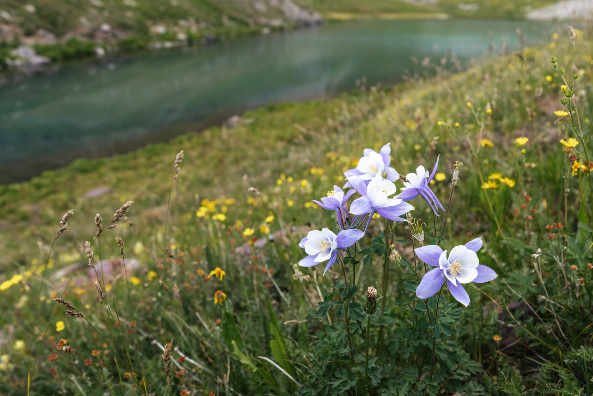
After 30 minutes of fishing (and no bites), we decided to hit the trail towards Ice Lake as we were once again worried about afternoon thunderstorms and wanted to be back in the trees at least by 2pm.
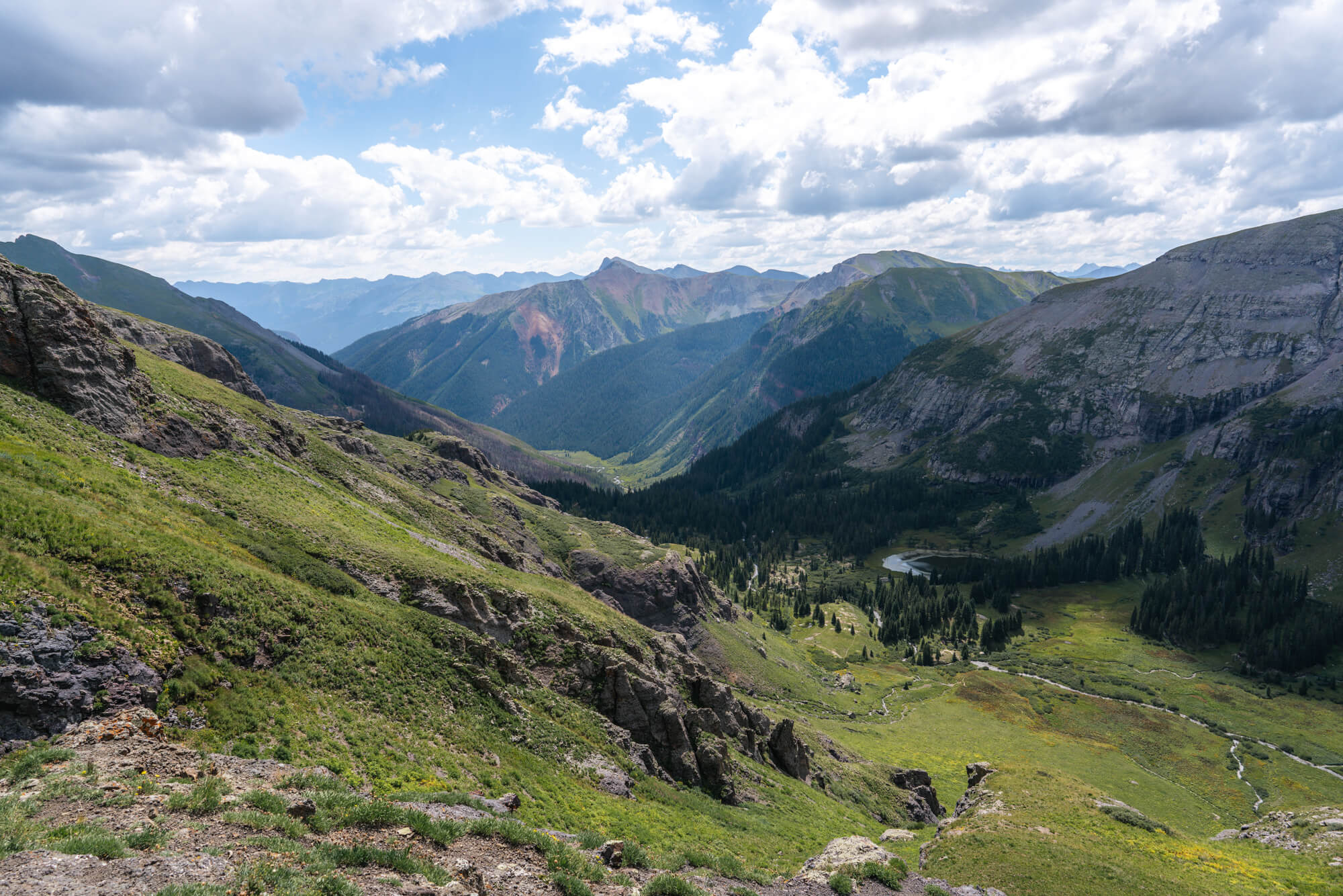
The route from Island to Ice Lake was absolutely stunning. This is the highest part of the trail at over 12,400 ft and has views down to the lower basin and the trailhead, as well to Ice Lake Basin ahead and the steep peaks behind it.

This is the point we got our first view of the electric blue Ice Lake and its outlet creek.
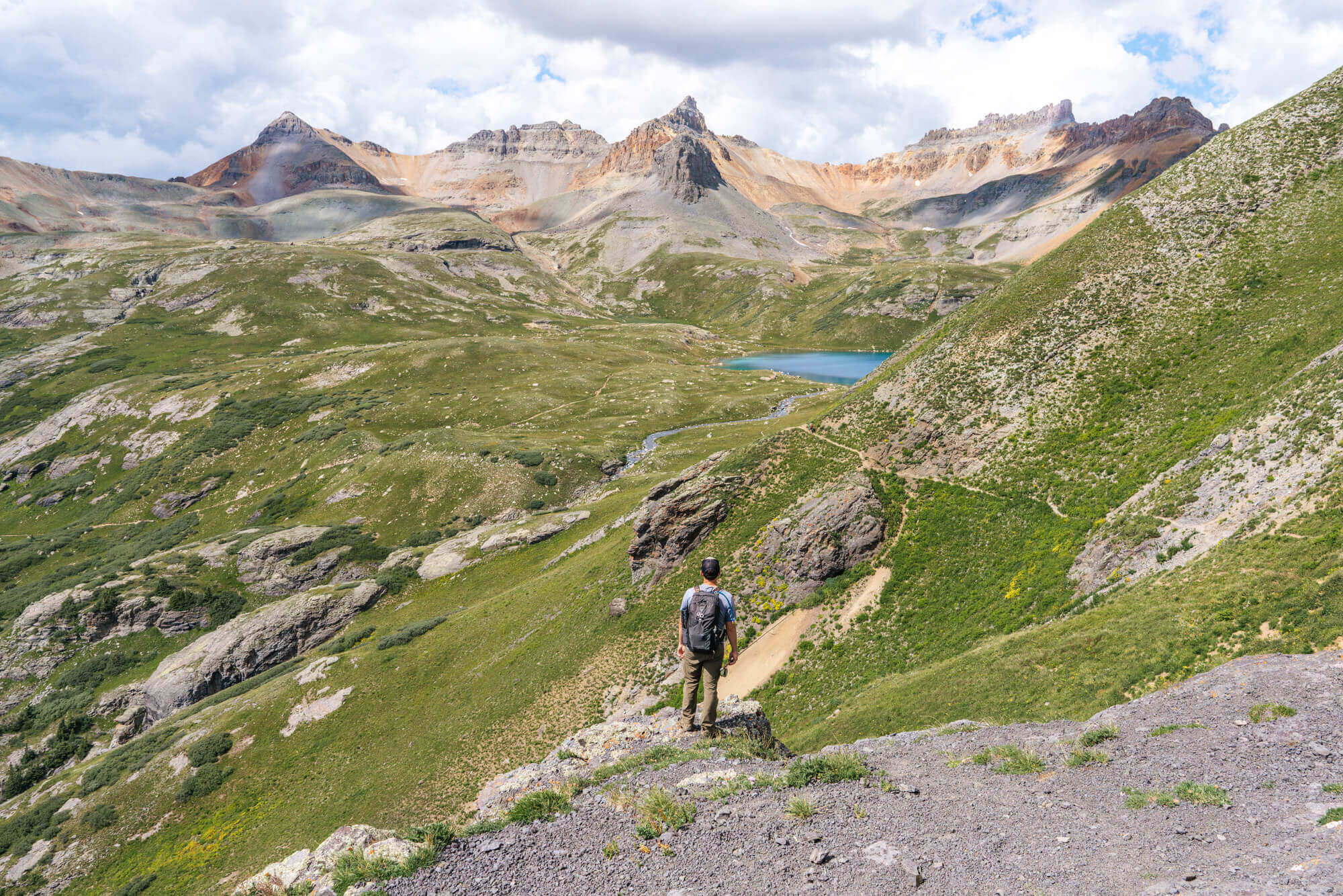
Standing there on the rocky outcropping, fly rod in hand, 13,000 ft peaks and glacial lakes in the distance – we think this photo captures everything we love about summer in the mountains.
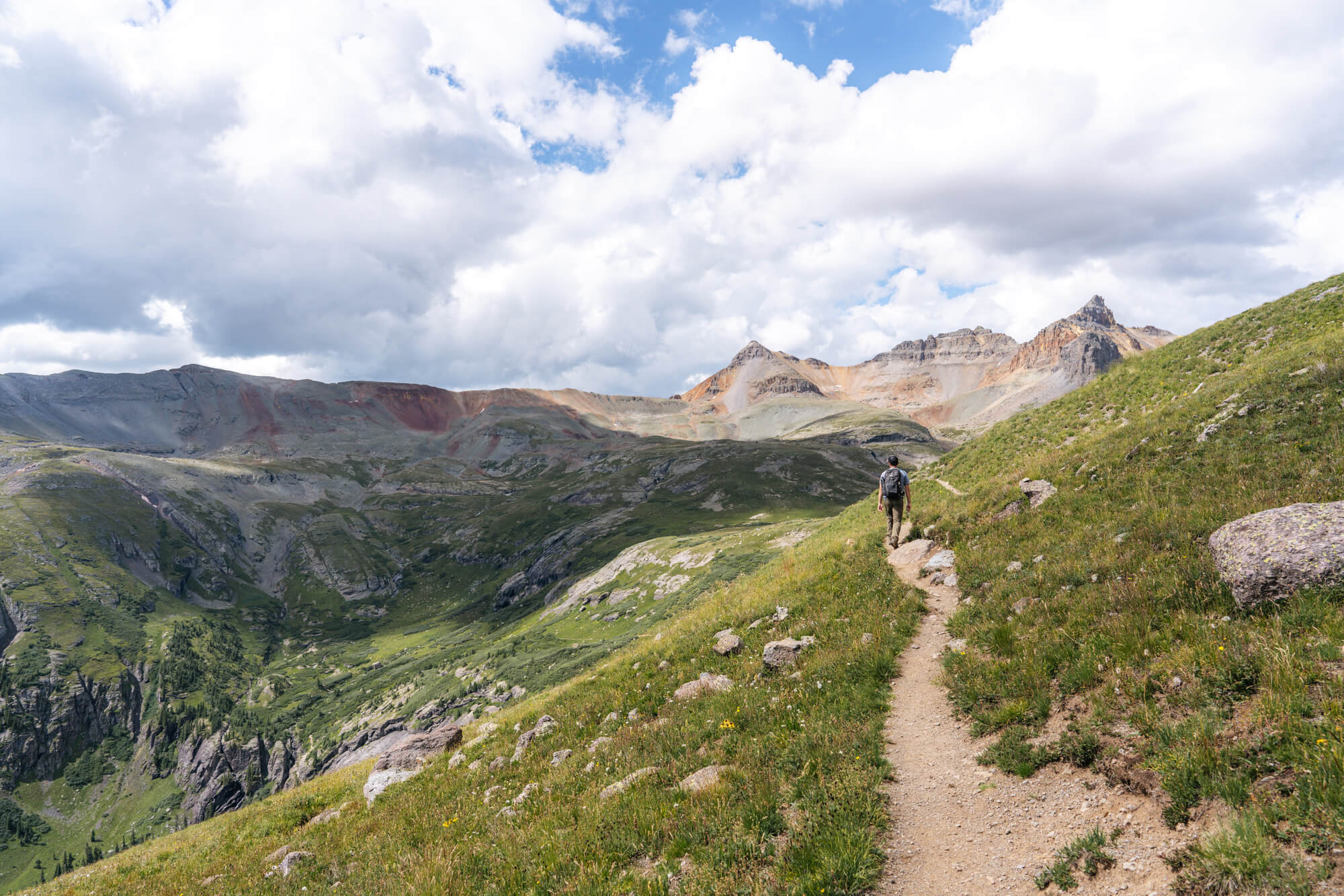
We slowly made our way down the steep trail to Ice Lake and walked by the silty outlet creek. There is so much glacial flour in the water that it coats the rocks in the creek and makes them appear white after the water recedes.
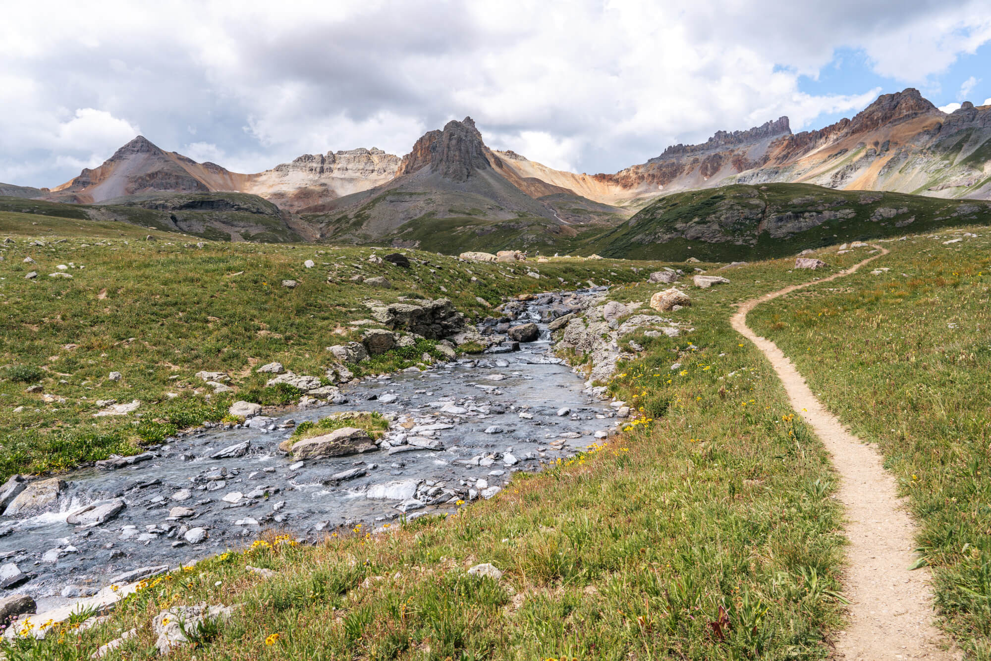
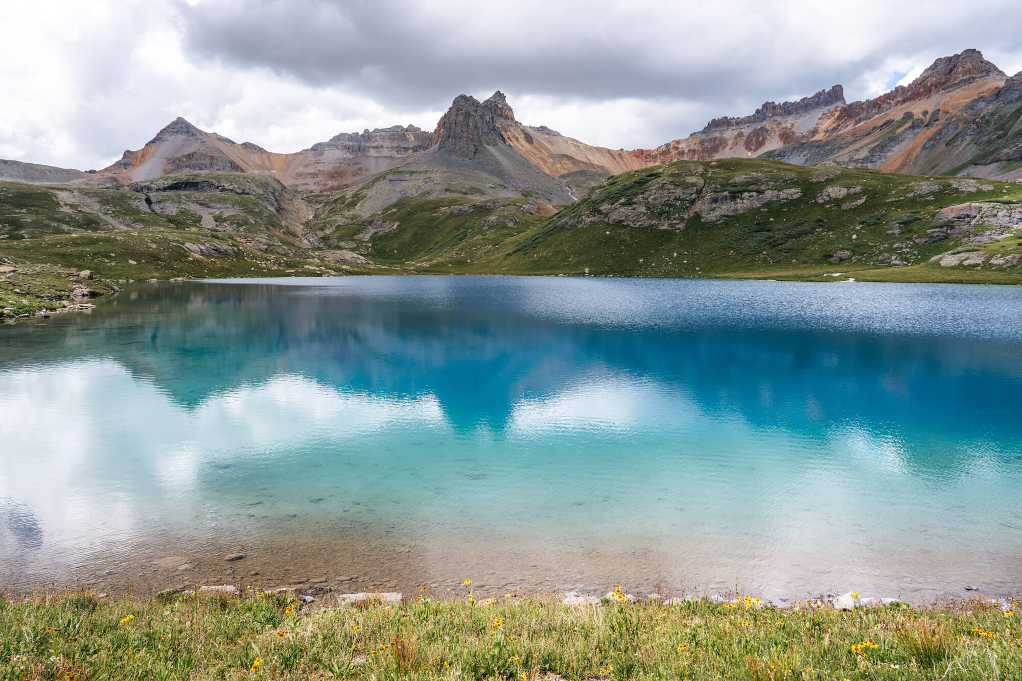
Ice Lake is impossibly blue. It’s one of the bluest waters we have ever seen (Tamolich Pool in Oregon is a similar electric blue). There were even more people around Ice Lake as its the main attraction of this hike, and it’s not hard to see why. We walked over to the less crowded north east corner and sat on some rocks to eat lunch. We think the views from this end of the lake are the best: the peaks in the background perfectly frame the bright blue Ice Lake.

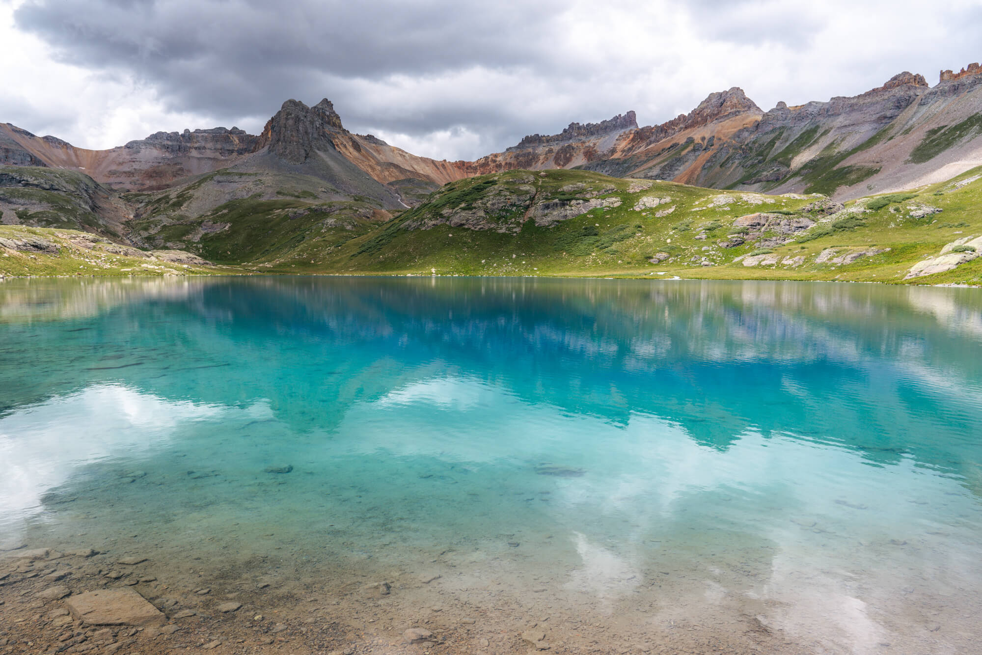
Clouds were beginning to form like they do nearly every summer afternoon in Colorado, which made the lighting change quite often as the sun went in and out of the clouds. The lake is at its brightest blue when the sun is out, but the clouds definitely made for some dramatic photos.
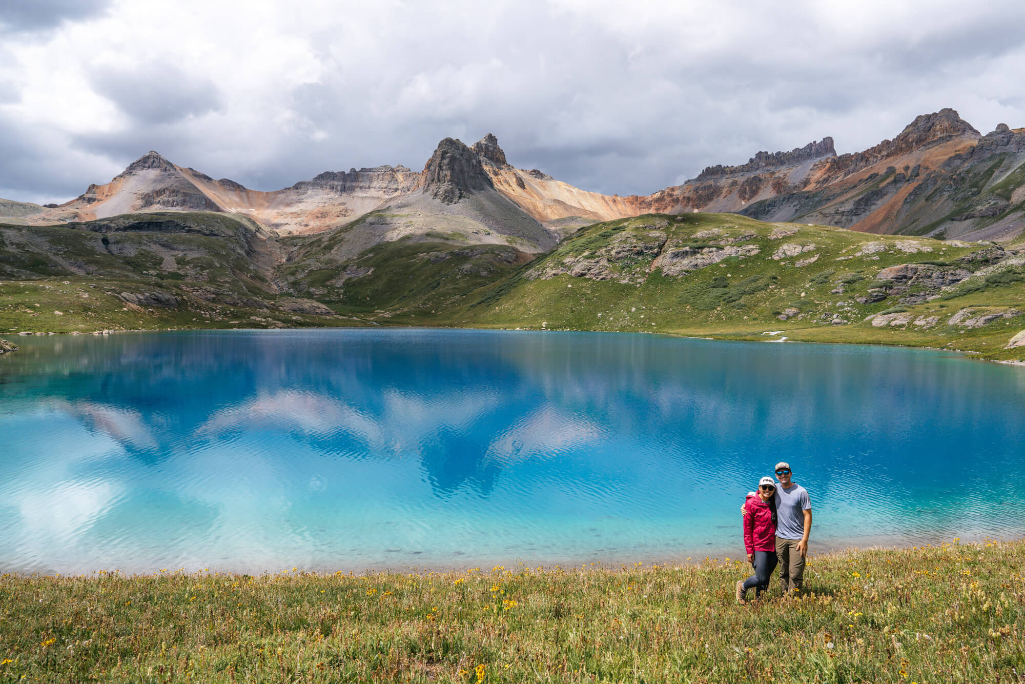
We didn’t really want to leave this mind blowingly beautiful lake, but we are in the “better safe than sorry” camp, and chose to head down before the weather got nasty (didn’t want a repeat of our traumatizing experience at another lake in the San Juans). We really enjoyed the walk back to the trail split because it continued to deliver on amazing and new views – the benefit of a loop hike!
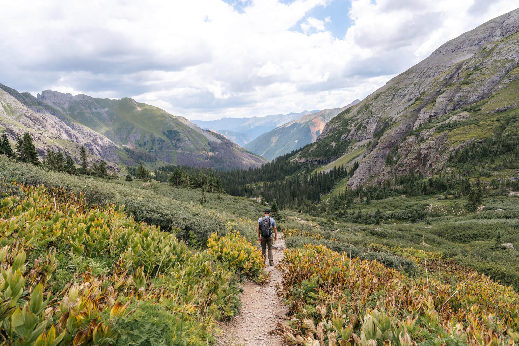
We thought Lower Ice Lake Basin was pretty as well, just in a different way than the alpine wonderland above. Fuller Lake and Ice Lake Creeks meet in this area and is the most popular camping spot for those backpacking.
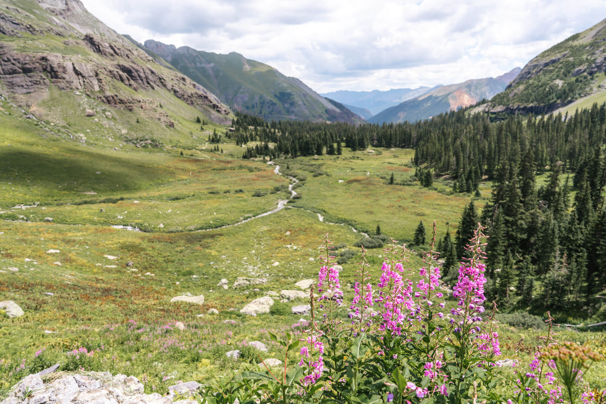
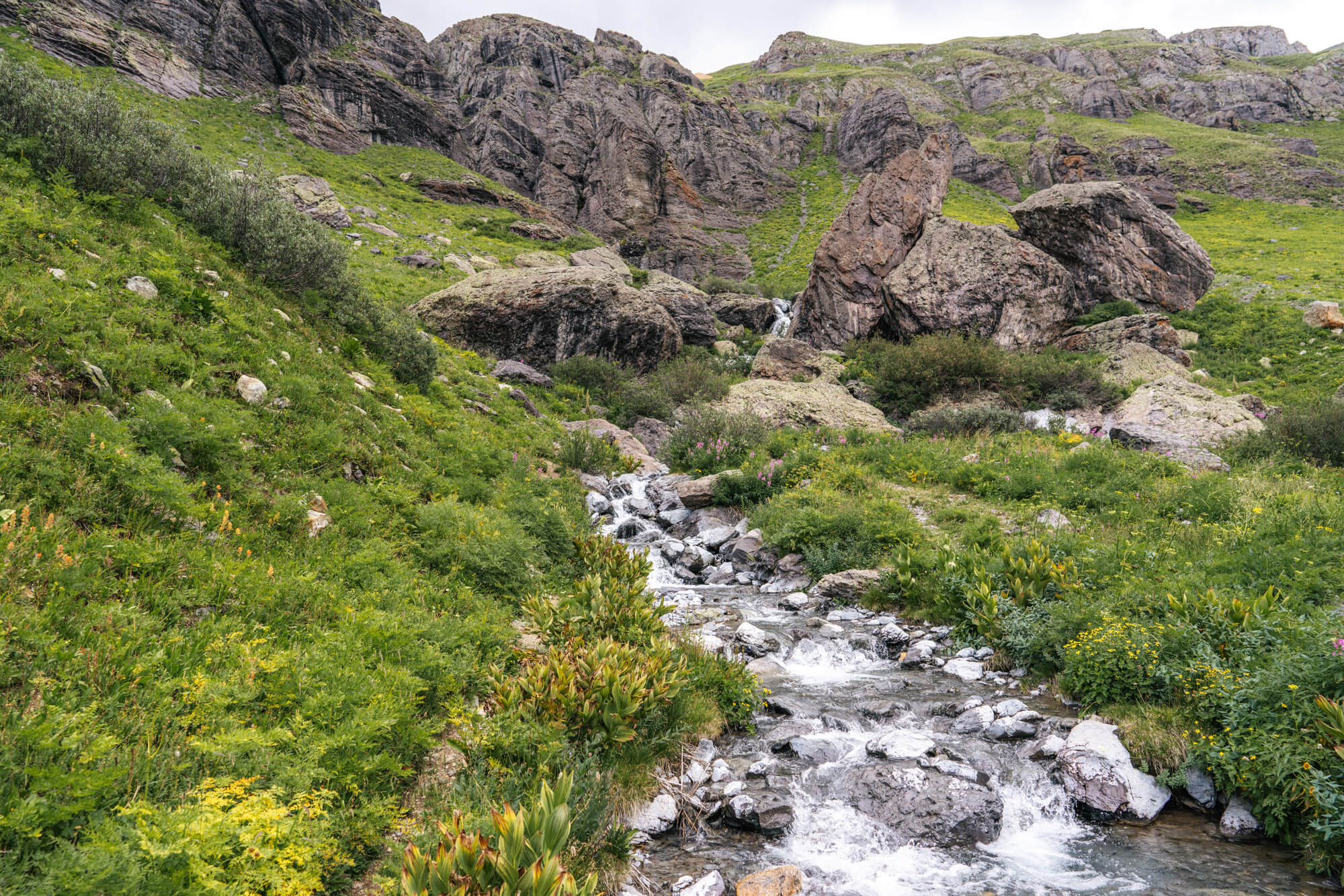
Once down in the lower basin we crossed Ice Lake Creek just below some waterfalls. The picture below reminded us fondly of our honeymoon in Iceland. The cloudy sky, black rocks, cascading water and green grass painted a very Icelandic picture.
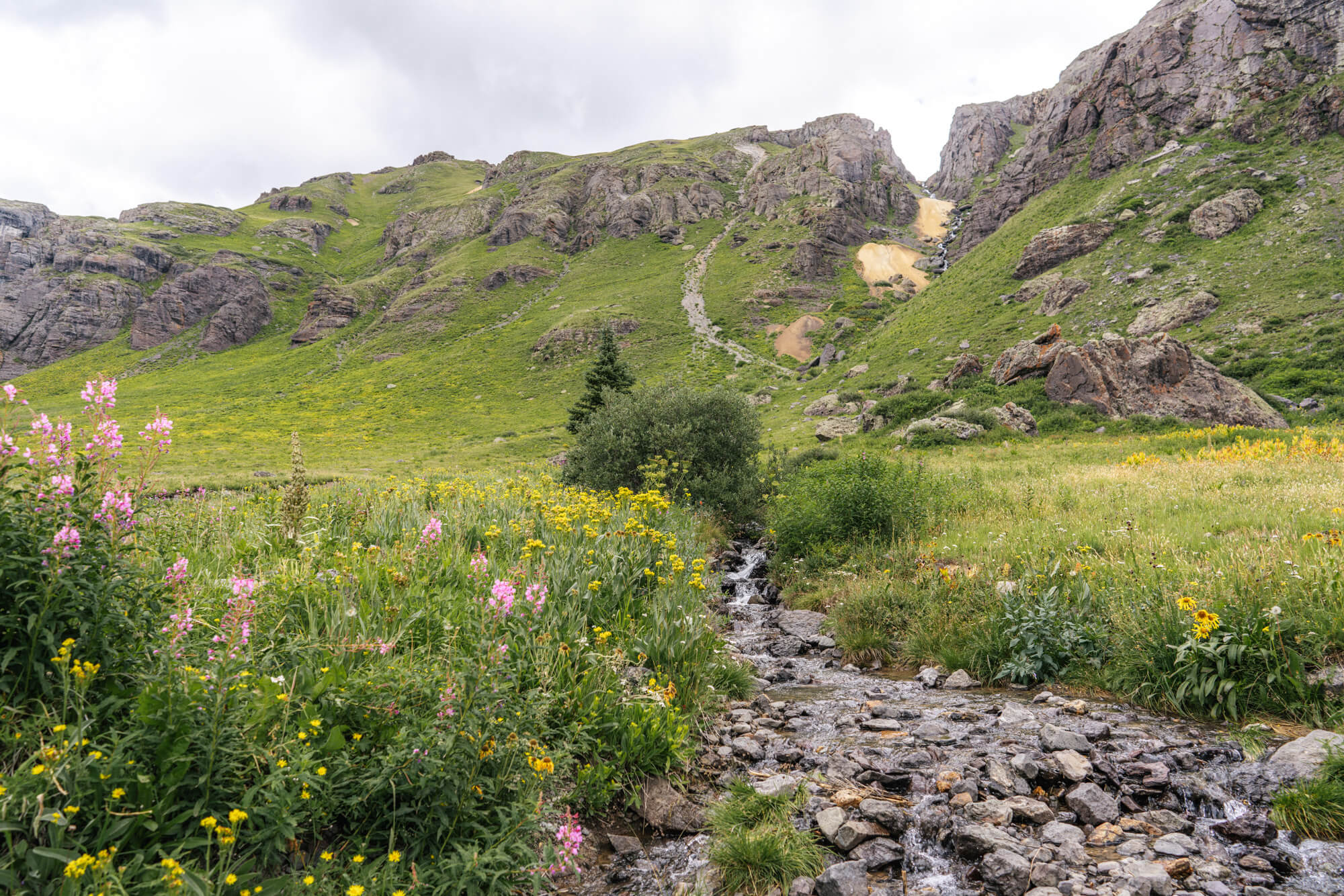
A bit lower down we also crossed Island Lake Creek and noticed remnants from an old mining operation up in the cliffs above.
Once we made it to the split, we put the camera away and hauled it back down to the car.
This loop hike is one of the most picturesque hikes we’ve ever done, and certainly one of the steepest. The crowds are really the only negative about this hike – well maybe the lack of fish too. At times it’s surprising how many people attempt such a difficult hike especially at altitude, but when we think about the lakes – easily some of the most beautiful in the country – it’s actually not too hard to justify every huff and puff up trail to Island Lake and Ice Lake.
